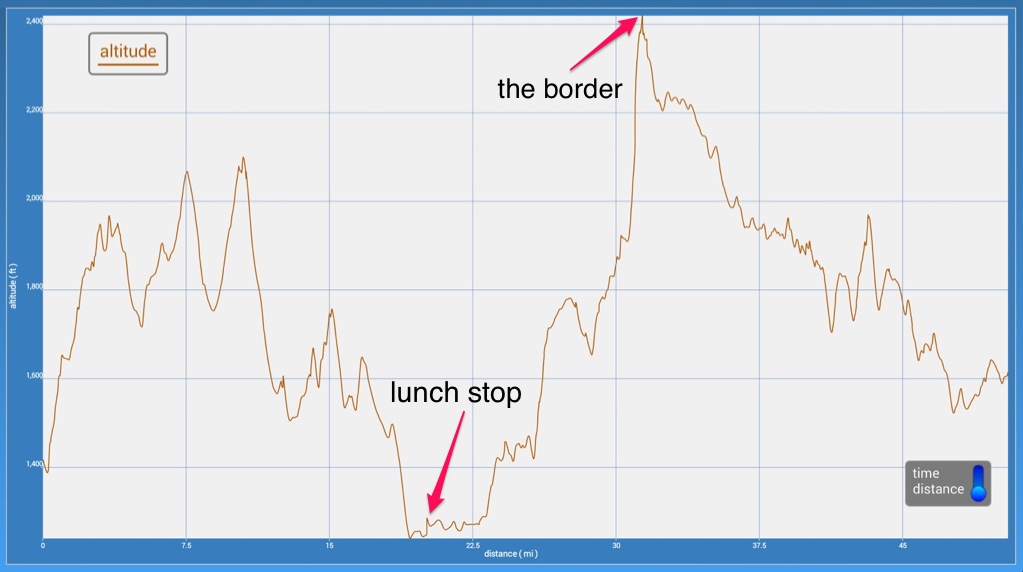
Today's milestone was crossing the border and returning to the US. Never mind that we were a mere 4 miles from the Maine border. That wasn't part of our plan. Our route called for heading west until we were positioned over New Hampshire, and then dropping down into the US.
Right out of the shoot this morning we faced steep hills to climb. The westward stretch took us up and over numerous ridges, and we could often see the road stretching out in front of us in the distance – a long ribbon rolling down and up the hills. With a West wind in addition, the miles passed at a snail's pace. But the brilliant blue sky and temperatures that quickly warmed with the sun provided such a beautiful day that we could hardly complain.

What goes down must come back up again...
At the end of that leg, we took a welcome break from the wind and the hills. Stretching out on a sheltered patch of grass, it was a joy to sit in the sunshine for a picnic. We haven't had warm enough weather for that in weeks!
Turning south, the hills moderated a bit. Until we neared the border, that is. We resumed our uphill climb with a few warm-up hills. Then we came to the biggie. There were numerous warnings to drivers, and we didn't have a prayer of making it up the hill cycling. It was just plain too steep and too long. We stuck together and slogged up step by step. It easily ranked up there with anything we climbed in Gaspésie. At least there we had twists and turns to break up the inclines. This was a perfectly straight shot up. And at the very top, perched on the summit was the border crossing. The customs official told us that even the cars strain to get up that hill, so we didn't feel too bad about our own struggle with it.
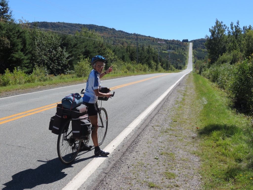
The big hill stretches out in front of us
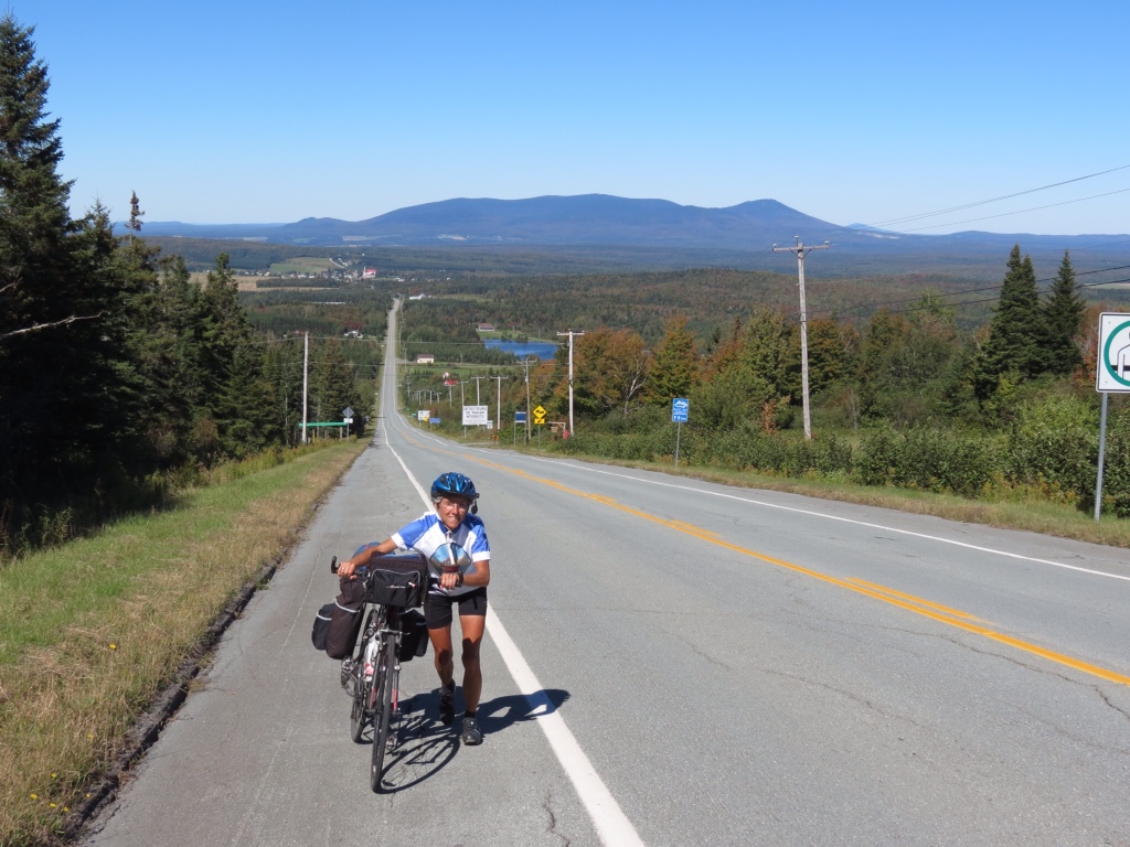
Caught in the act! Slogging up the hill to the border.
Once we were in New Hampshire, it was all downhill – literally! Rich had hoped that by choosing the road through the Upper Connecticut River Valley it would be less hilly, but he had no idea that we would be treated to such a long glide down. All the elevation that we gained in the last two days played out in front of us for a gradual drop over 20 miles! In addition, it was a smooth road with no traffic. Ten miles went by before the first car passed us. It was a cyclist's dream!
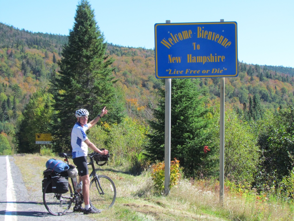
Back in the USA!
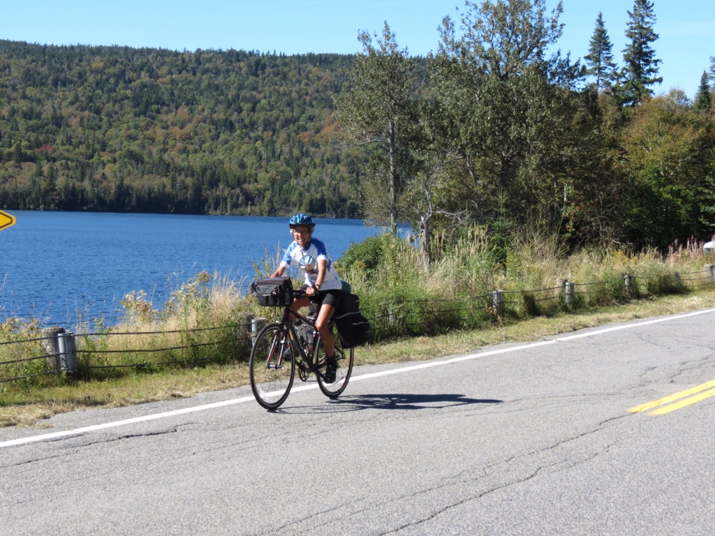
Cycling past beautiful lakes
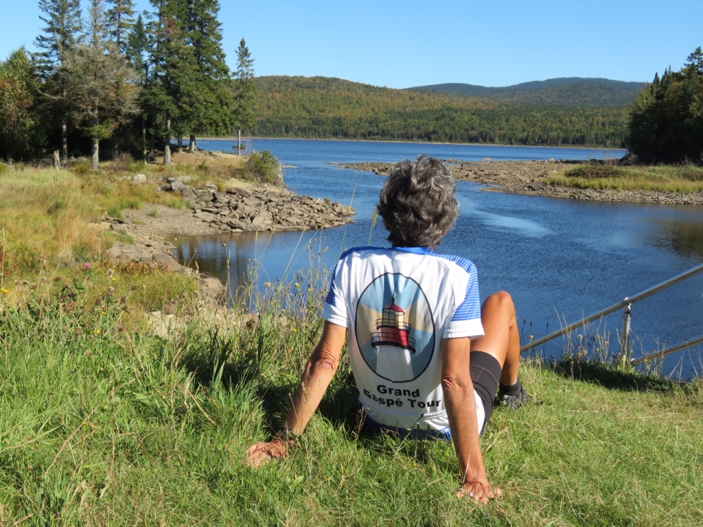
Time out to enjoy a peaceful scene
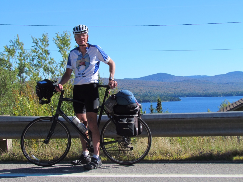
More nice scenery - First Connecticut Lake
Our photos illustrate the beautiful countryside and give you some idea of the hills. But there's nothing like cold hard data to prove the day's ups and downs. So I give you today's ride elevations. Just for fun.

Moltex, Welcome Home! I hope the Connecticut River valley lives up to Rich’s expectation. You forgot something; the data! — Betsy
Oops! I’ve now added the data.