Driving toward the northern border of Costa Rica, we left behind the clear skies and intense heat. The landscape transformed from dry to thick intense greenery. A brief mist smeared the windshield. We rose onto the eastern slopes of Volcano Tenorio, and bumped our way along windy roads to arrive at La Carolina Lodge. Our rainforest home for three days.
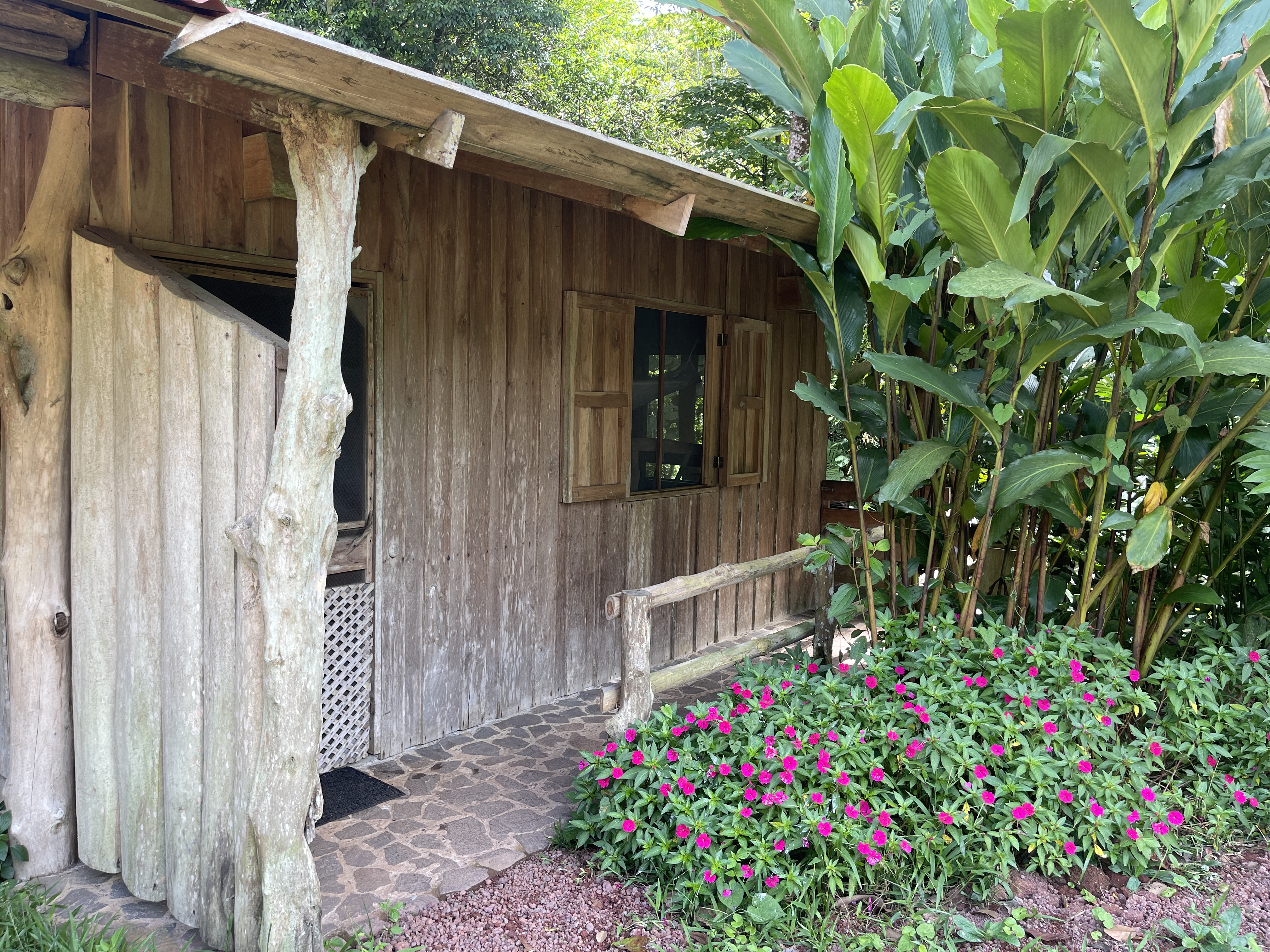
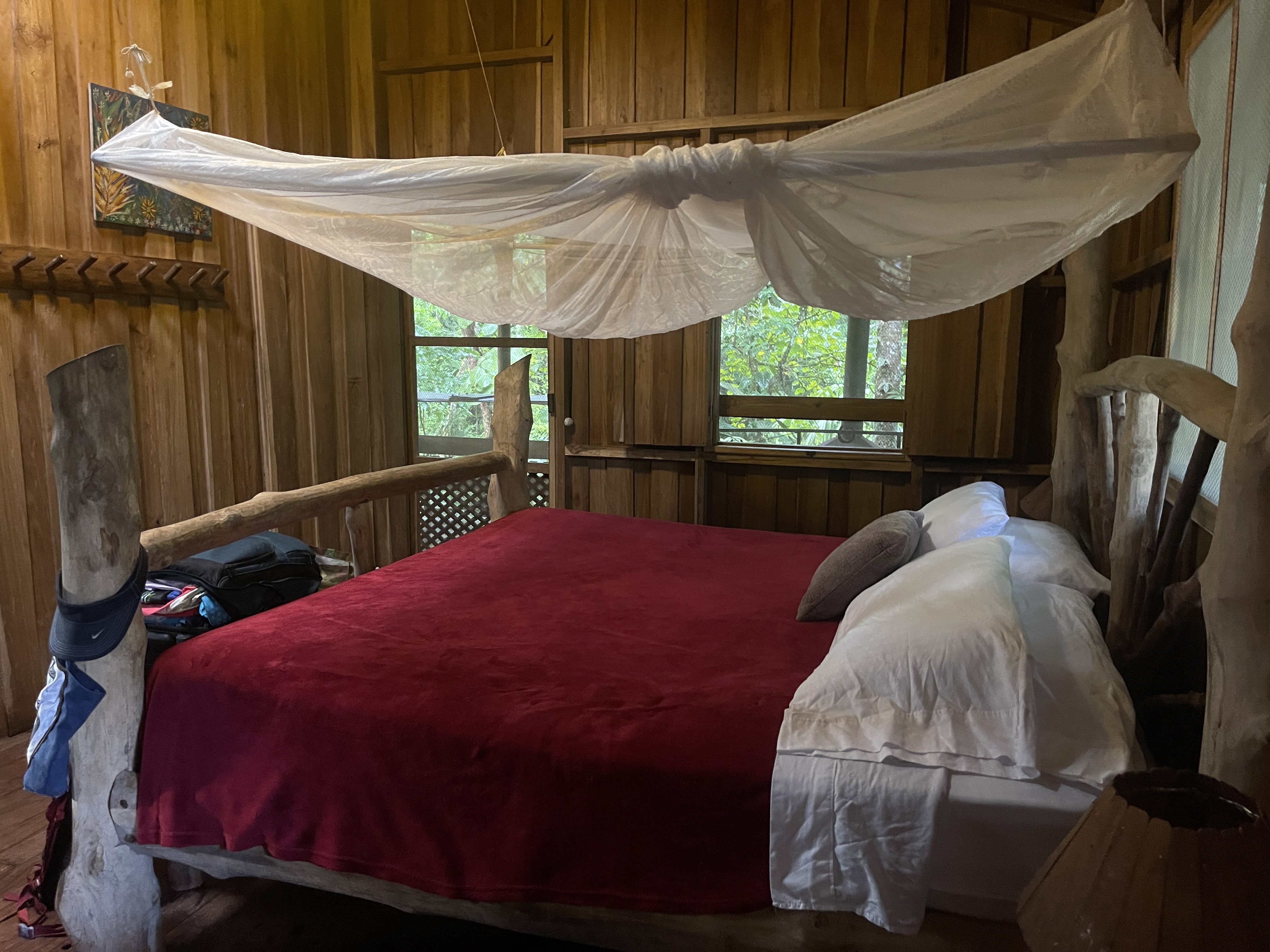
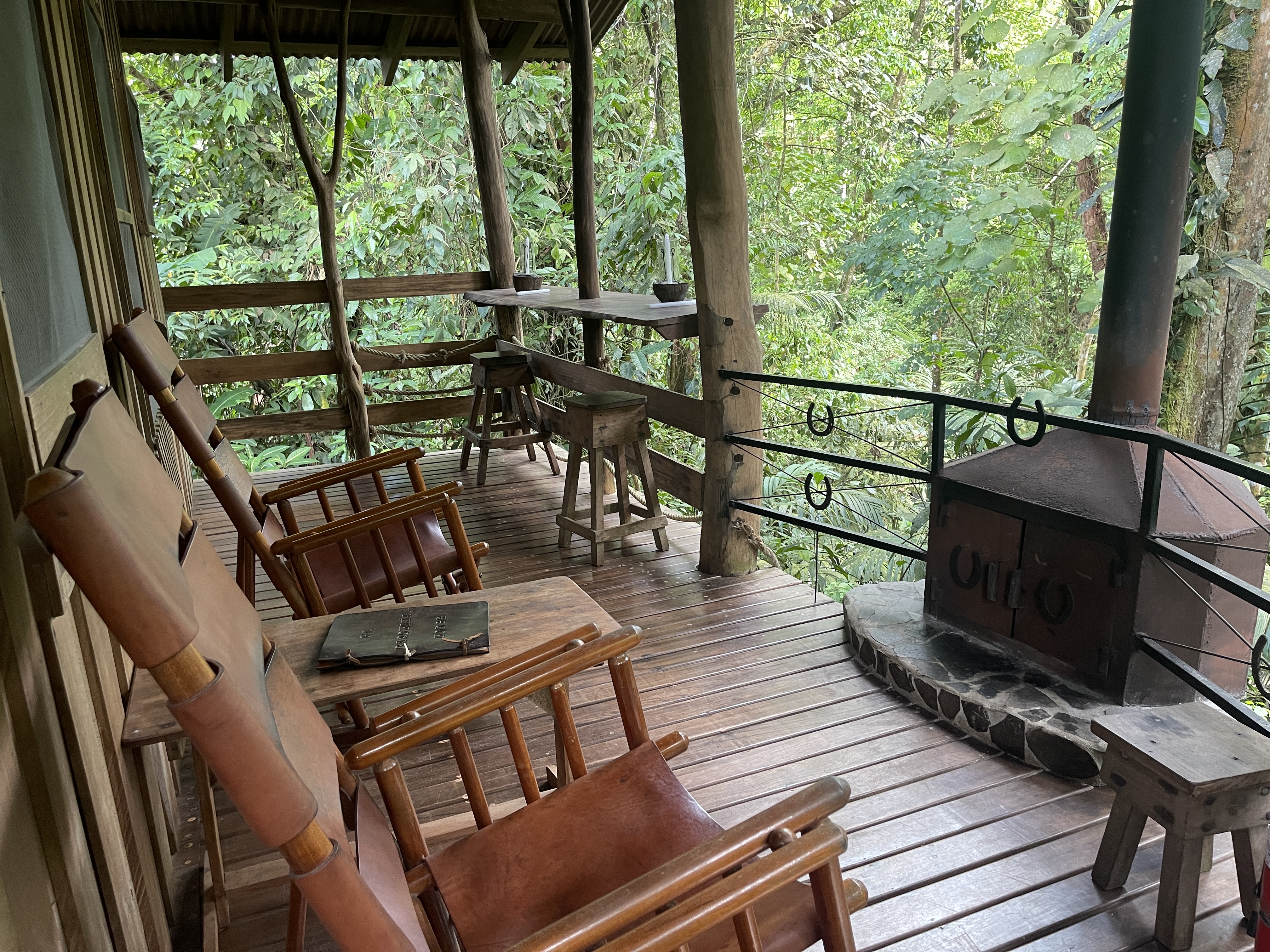
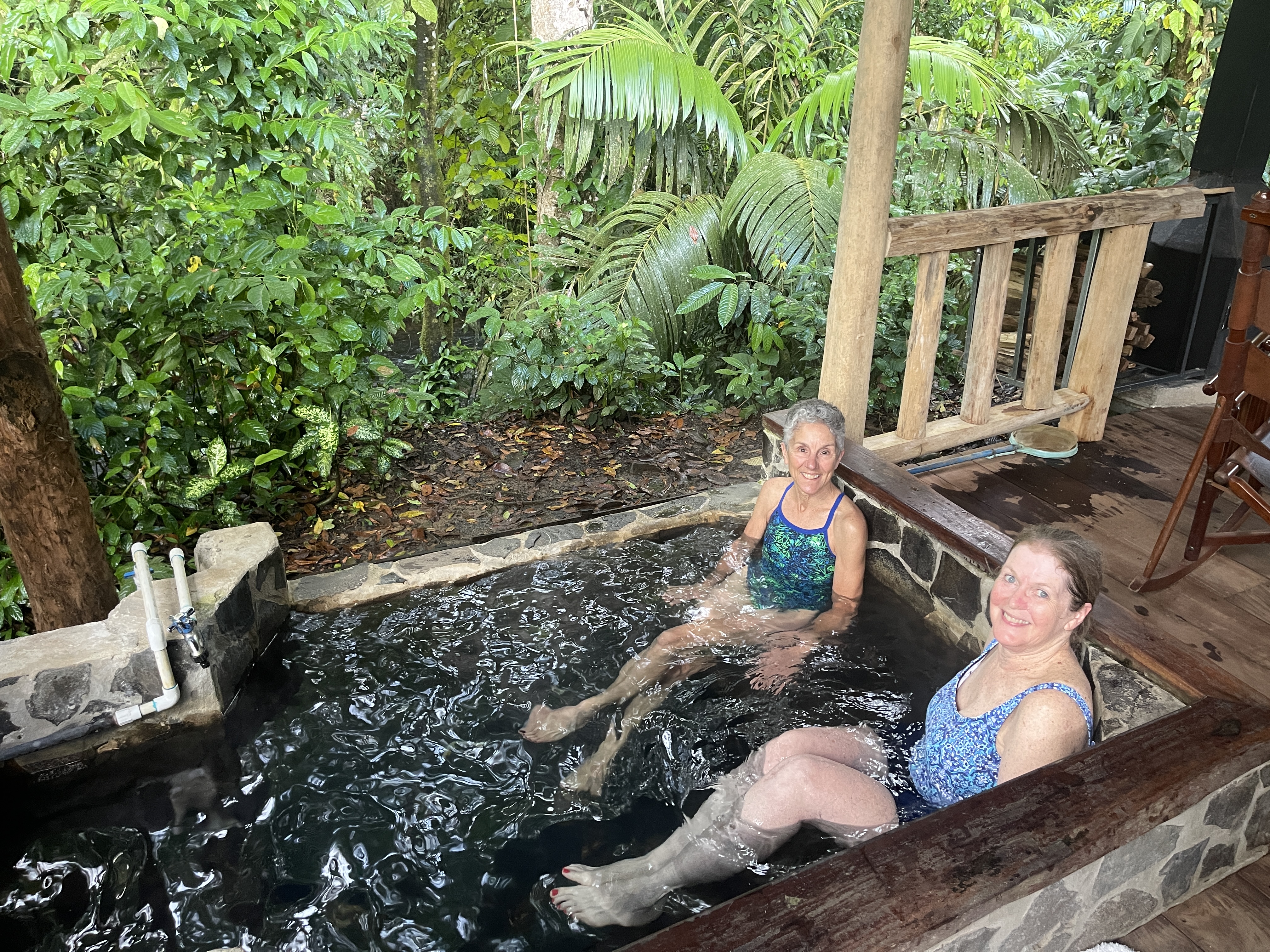
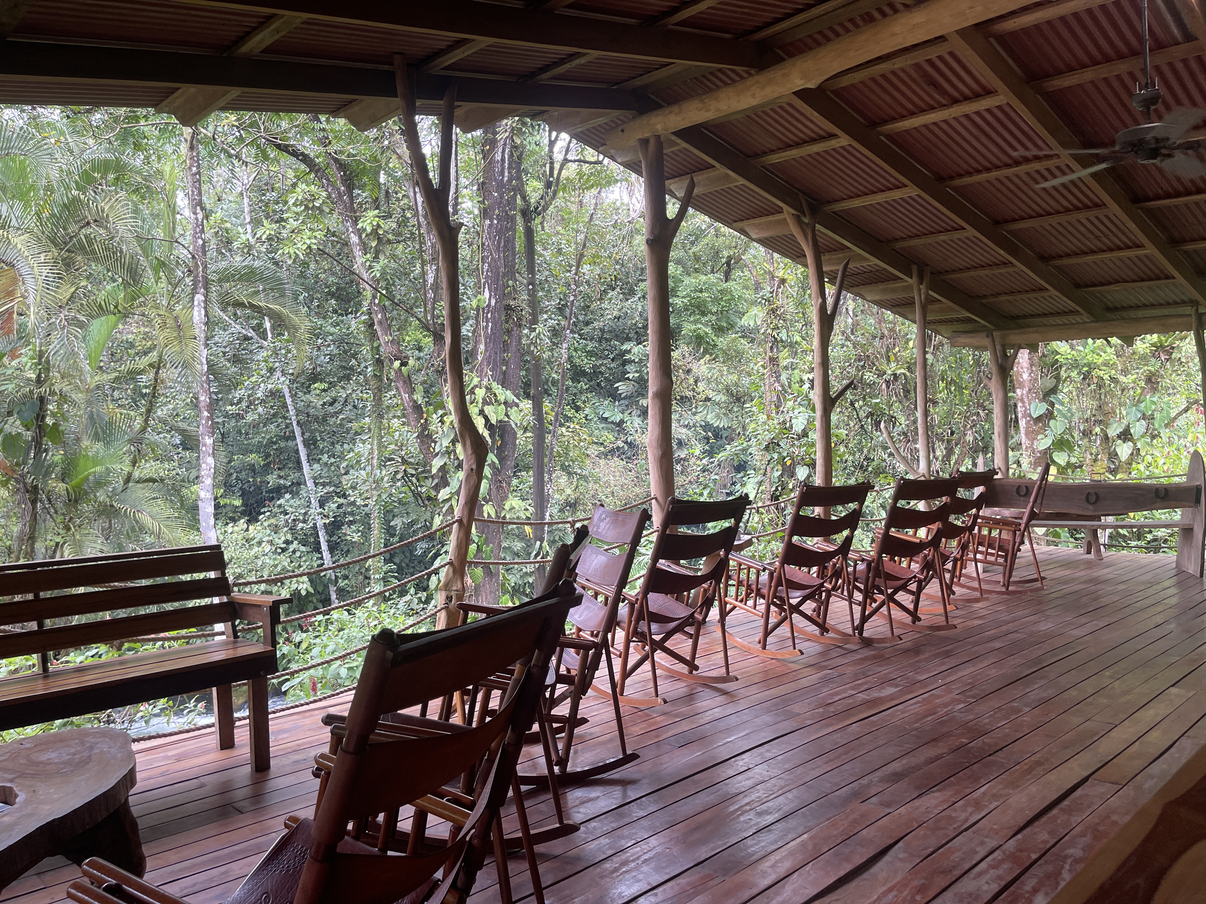
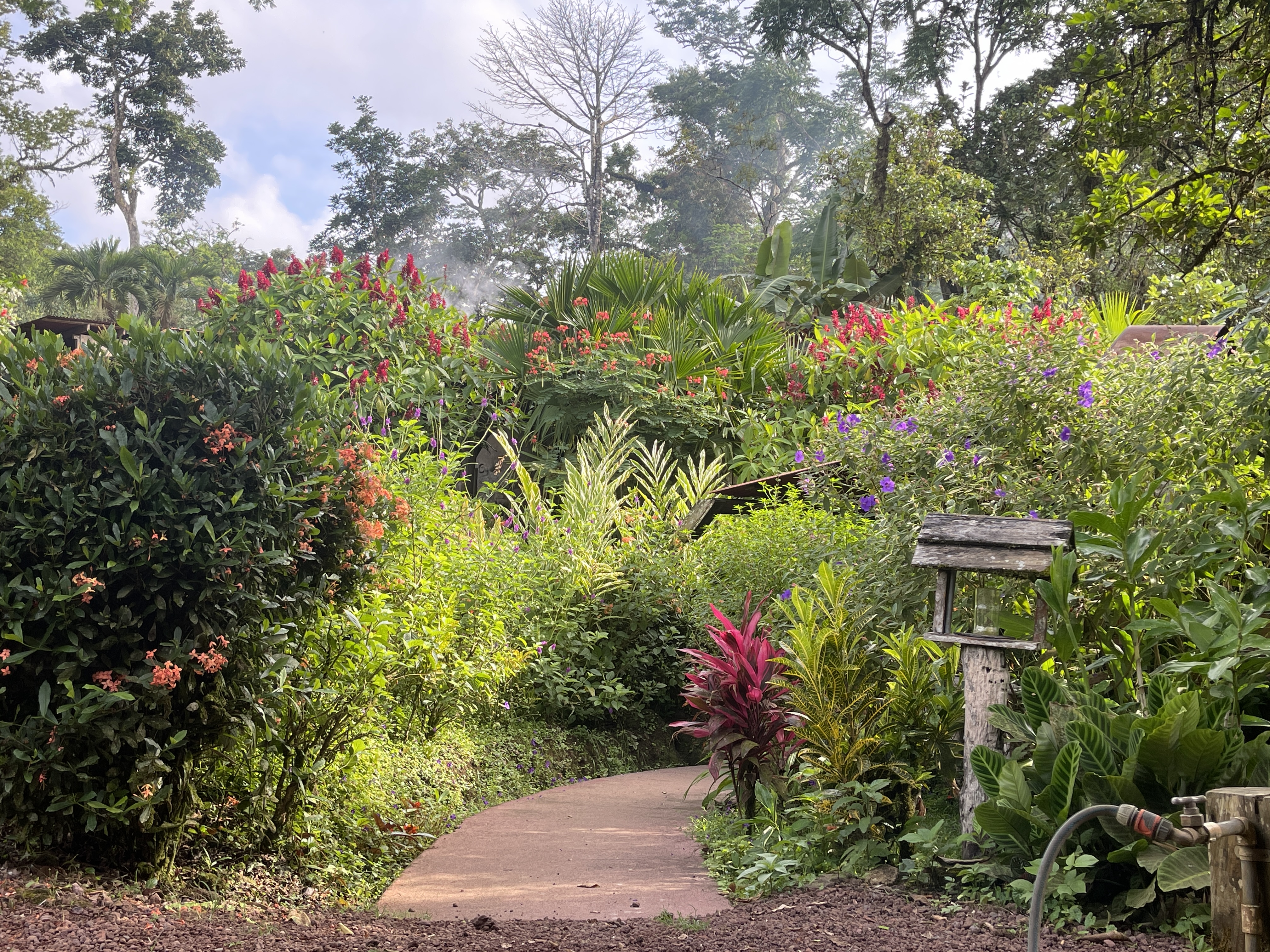
Ready to shed the outside world, Rich and I along with our friends Jon and Beth were shown to our cabins, nestled in the tall leafy environs sprinkled with brilliant flowers, and bordering the fast-flowing river onsite. In keeping with the eco-lodge essence, they were simple but comfortable, with overhead ceiling fans, windows for good cross-ventilation, mosquito netting hanging over the beds, a few lights and electrical outlets, and a bathroom with shower. The best feature was the deck facing the river with wooden rocking chairs, a counter with stools and wood fireplace. Jon and Beth, situated in the “honeymoon cabin” next door, had a personal wood-fired hot tub (which the staff kept stoked) and a hammock as well. Those would become our favorite living areas.
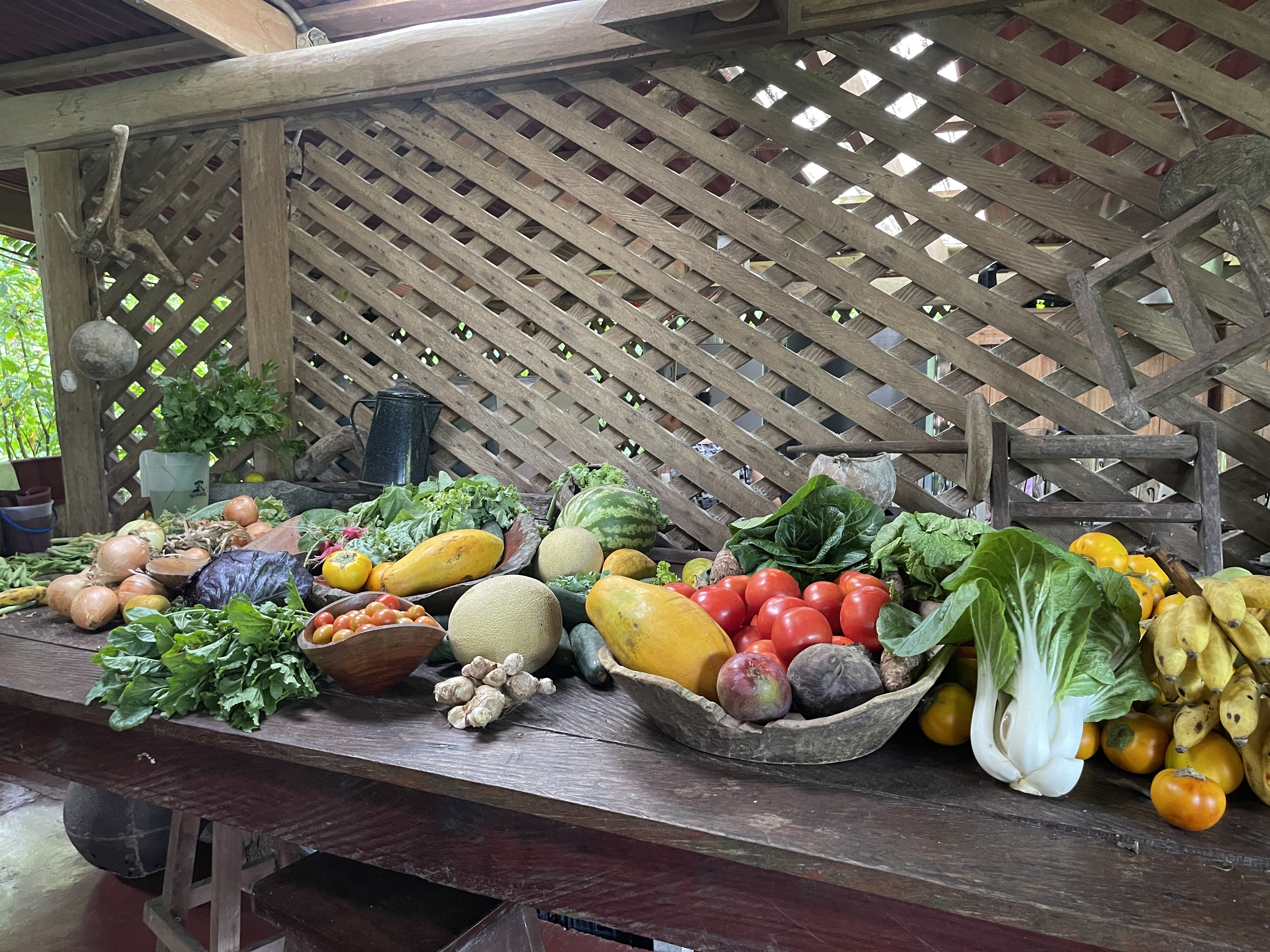
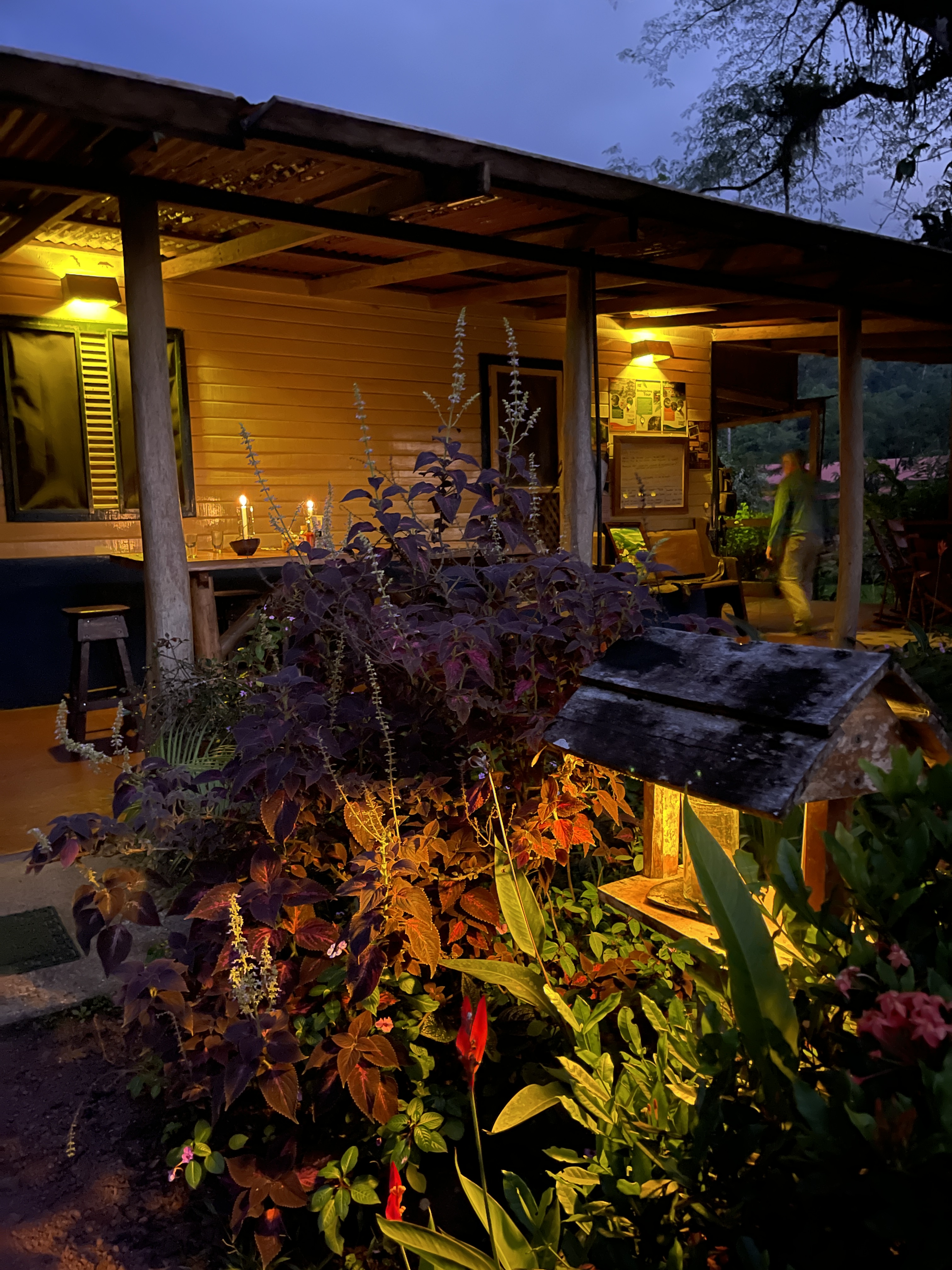
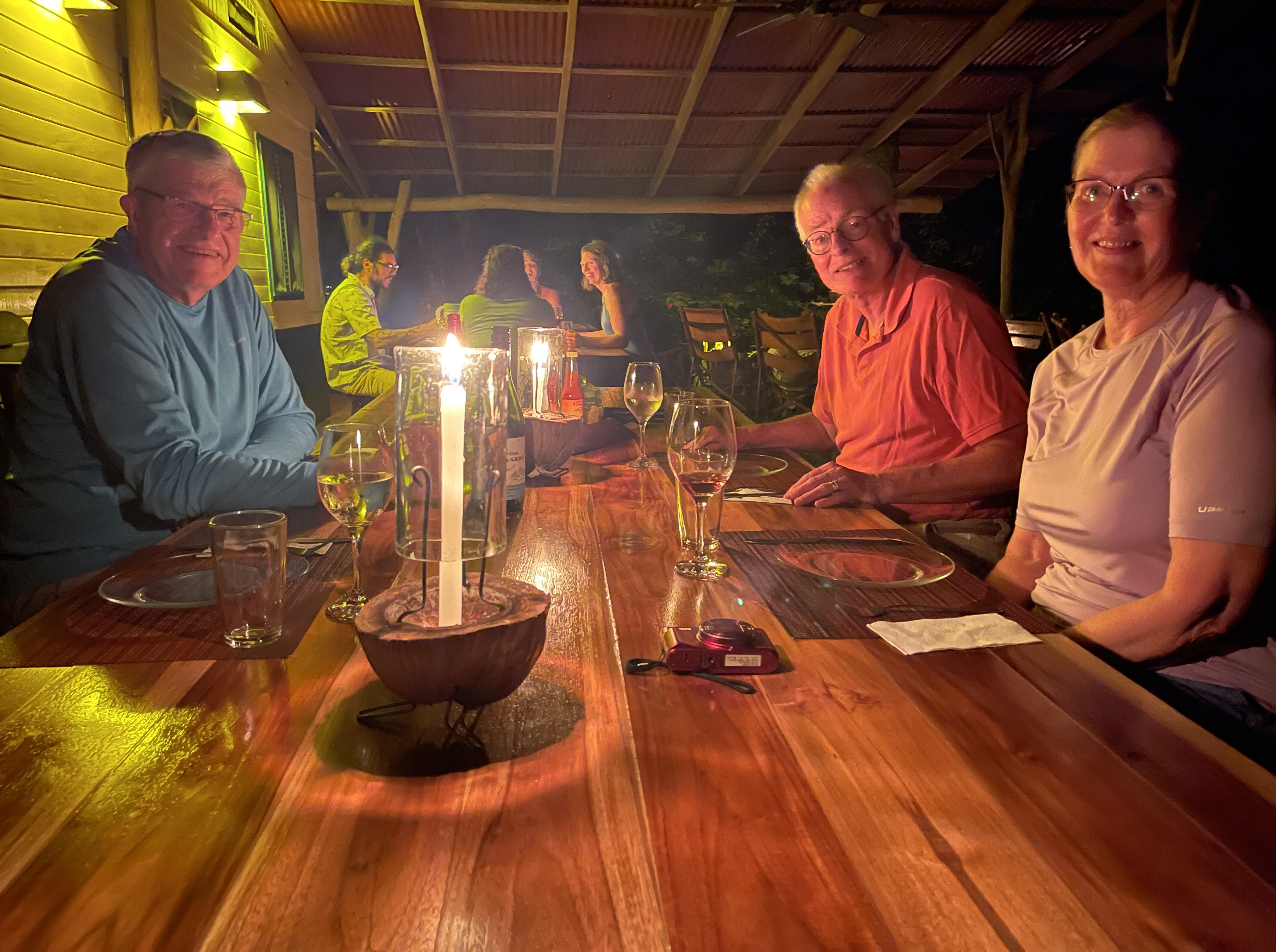
We arrived in time for lunch, and made our way to the lodge for our first dining experience. Tables set for individual groups circled all four sides of the open air building, and we were shown to a table just opposite the kitchen prep area. We could see the wood-stove and oven off to one side, and a long table laden with a colorful array of fresh fruits and vegetables (which we noticed dwindled during our stay!). We faced the garden area outside, the epi-center of bird watching.
All meals were served family style, with Costa Rican dishes placed in the center to be shared. With three meals a day included, I wondered if I would feel over-fed but it wasn’t the case. A hearty dose of rice and beans with every meal accompanied by locally raised beef, pork or chicken and an array of fruits, vegetables and salads lefts us just satisfied, never hungry. Breakfast included farm fresh eggs and homemade cheese and bread. We were fascinated to learn that about 85% of all food served is raised on-site, the remainder coming from local farms.


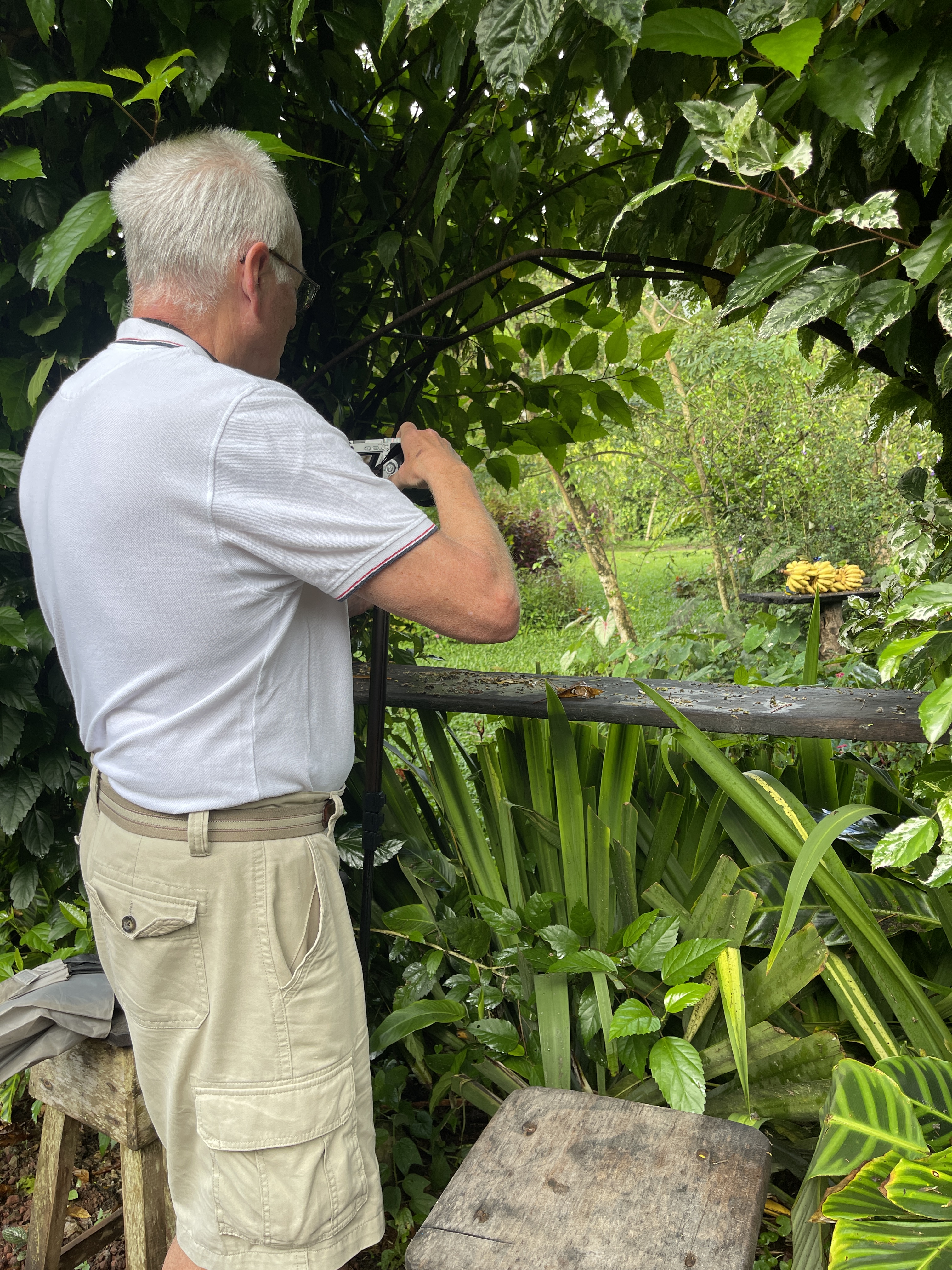
Eager to explore our surroundings, we made fast work of settling in. Rich made his choice very clear. “I’m here for the birds.” He had already spent time that morning ensconced in the garden blind, capturing his first toucans while huddled under an umbrella in the rain – having “the time of his life!” That became his happy place.

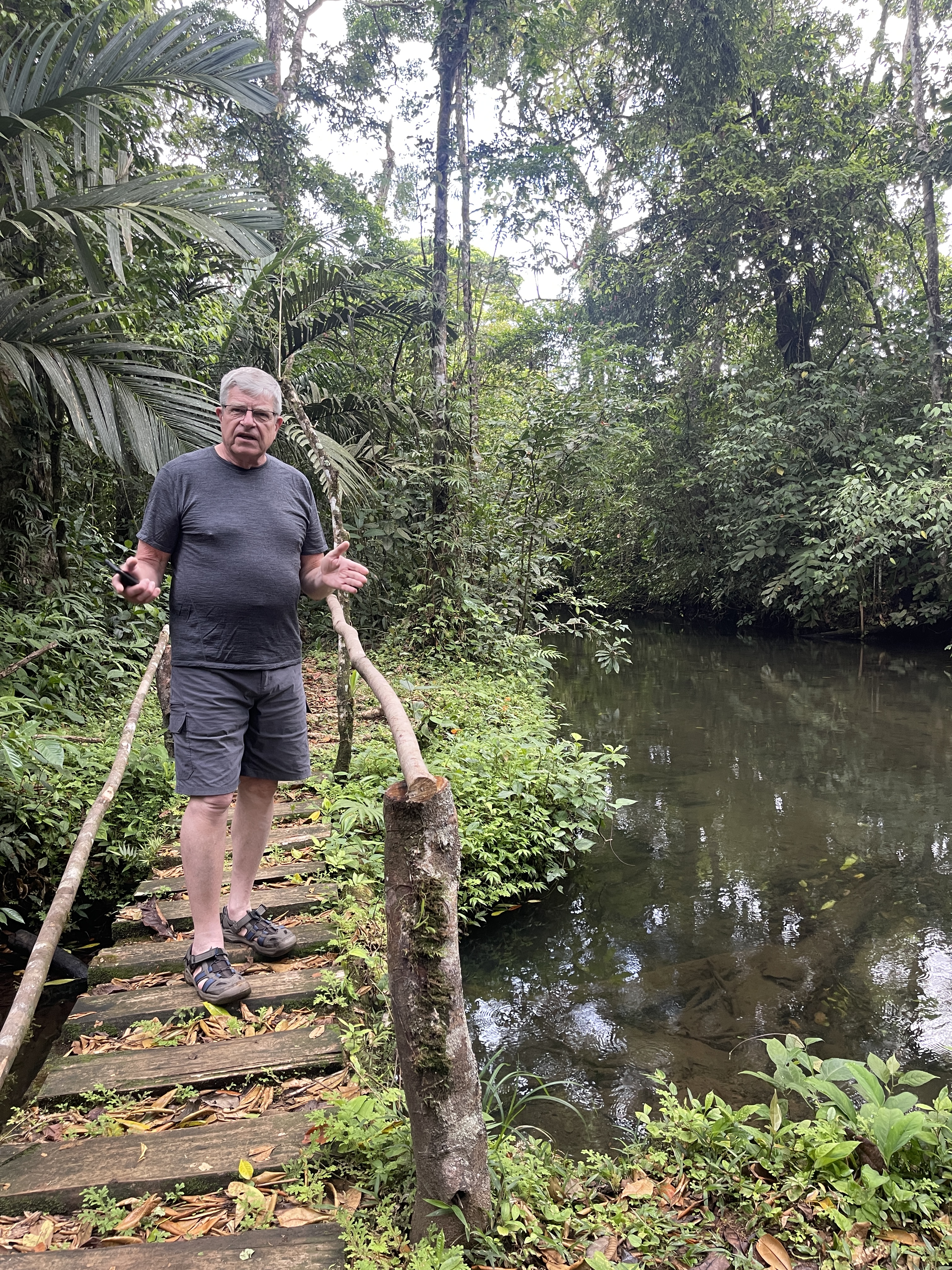
Jon, Beth and I indulged our own interests each day by venturing off campus to hike to a turquoise blue waterfall, tour a chocolate farm, and cross suspension footbridges strung across the treetops.
During the heat of the afternoon, it was easy to while away the hours on the deck, reading and journaling to the sounds of the rushing river while Rich worked on his latest set of photos. Jon and Beth invited us over to enjoy their hot tub, and while it seemed incongruous in this tropical climate, it actually felt good!
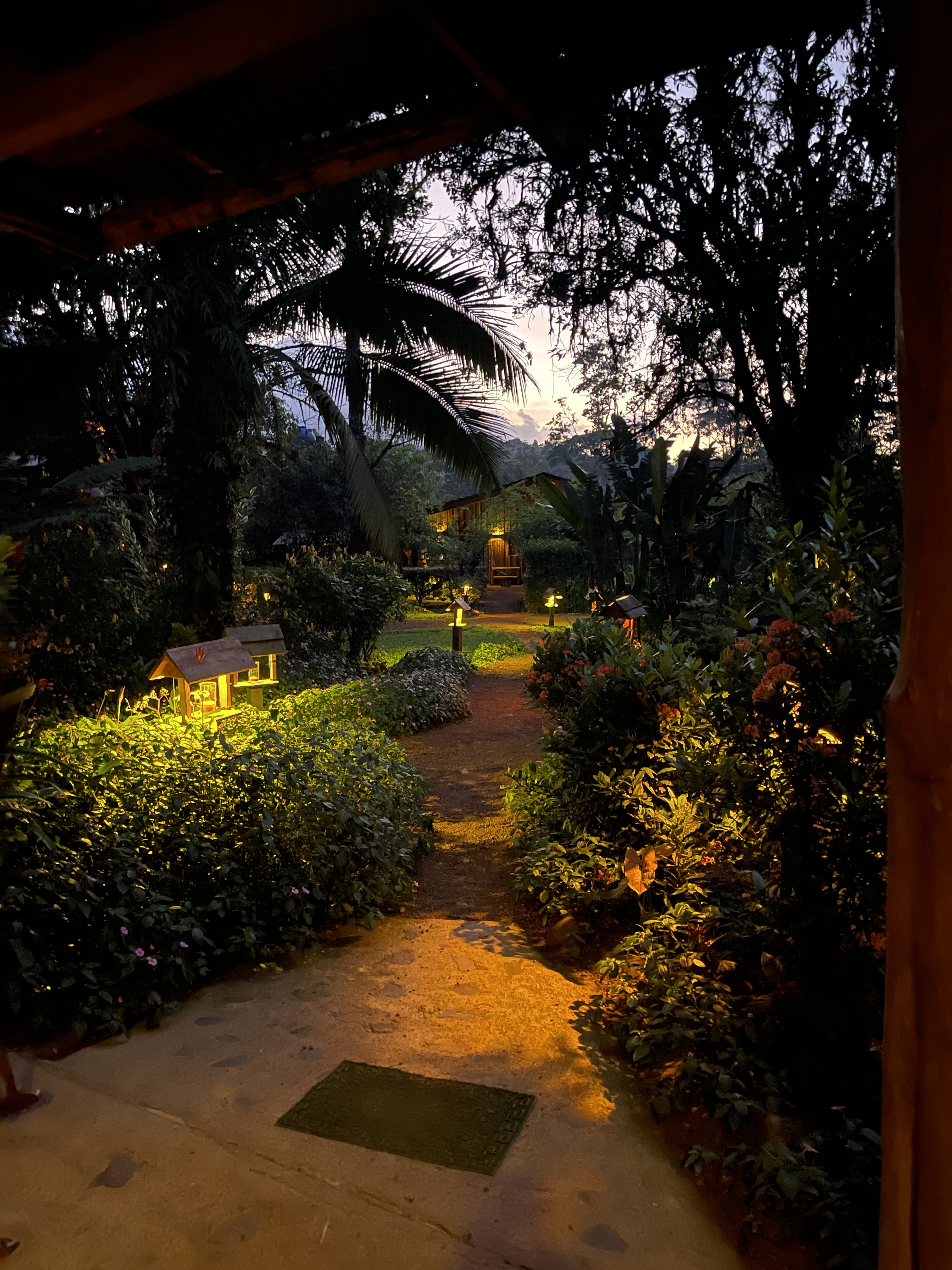
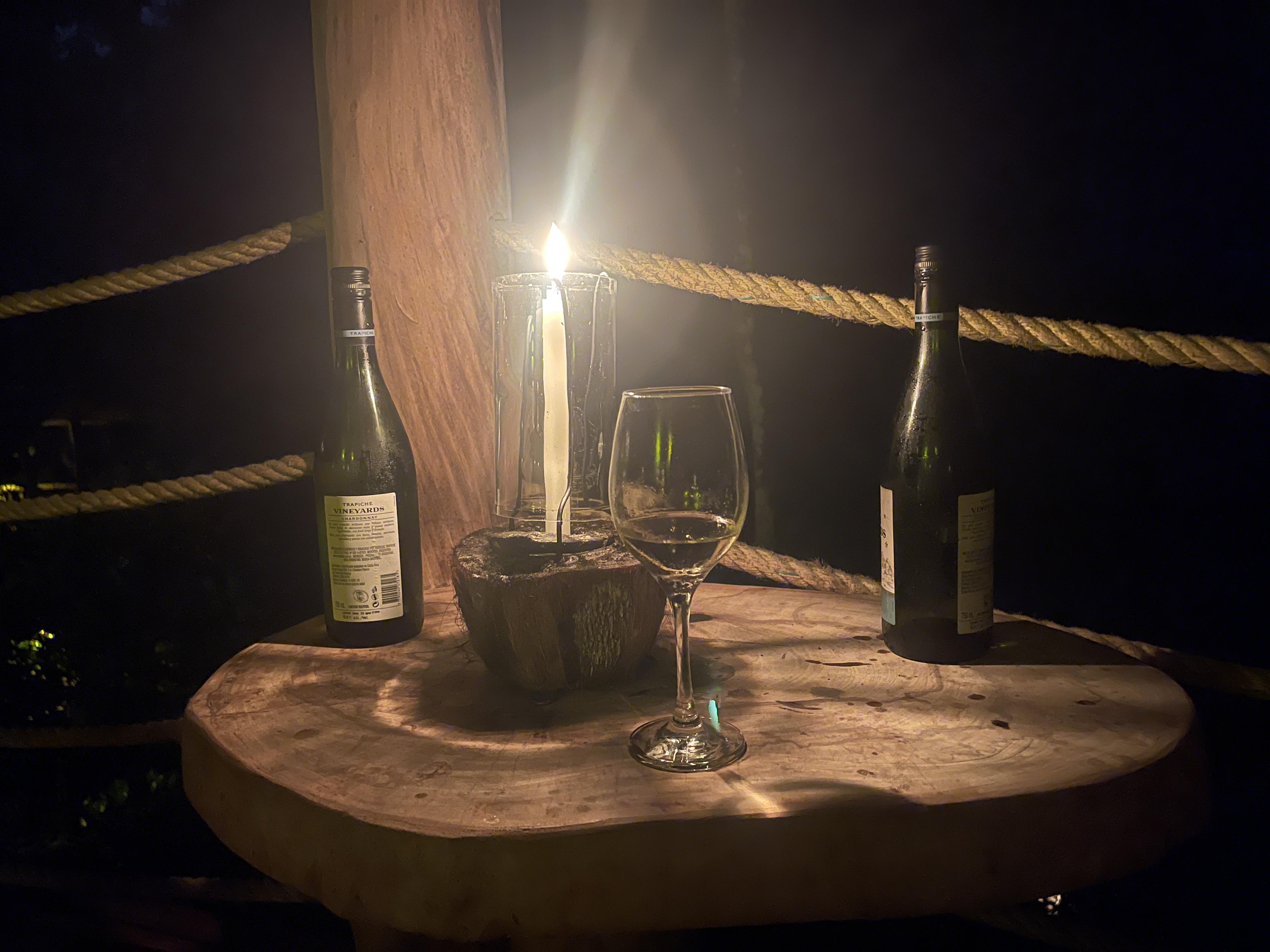
Evenings were particularly magical. Before leaving for dinner, a young woman silently slipped onto our deck and lit the candles on the railing and started a fire in the wood fireplace. We learned this would be a nightly occurrence, and came to appreciate the glow of the fire well into each evening. At the same time, candles and lanterns were lit throughout the grounds, throwing glimmering light onto the paths, just enough to illuminate our way.
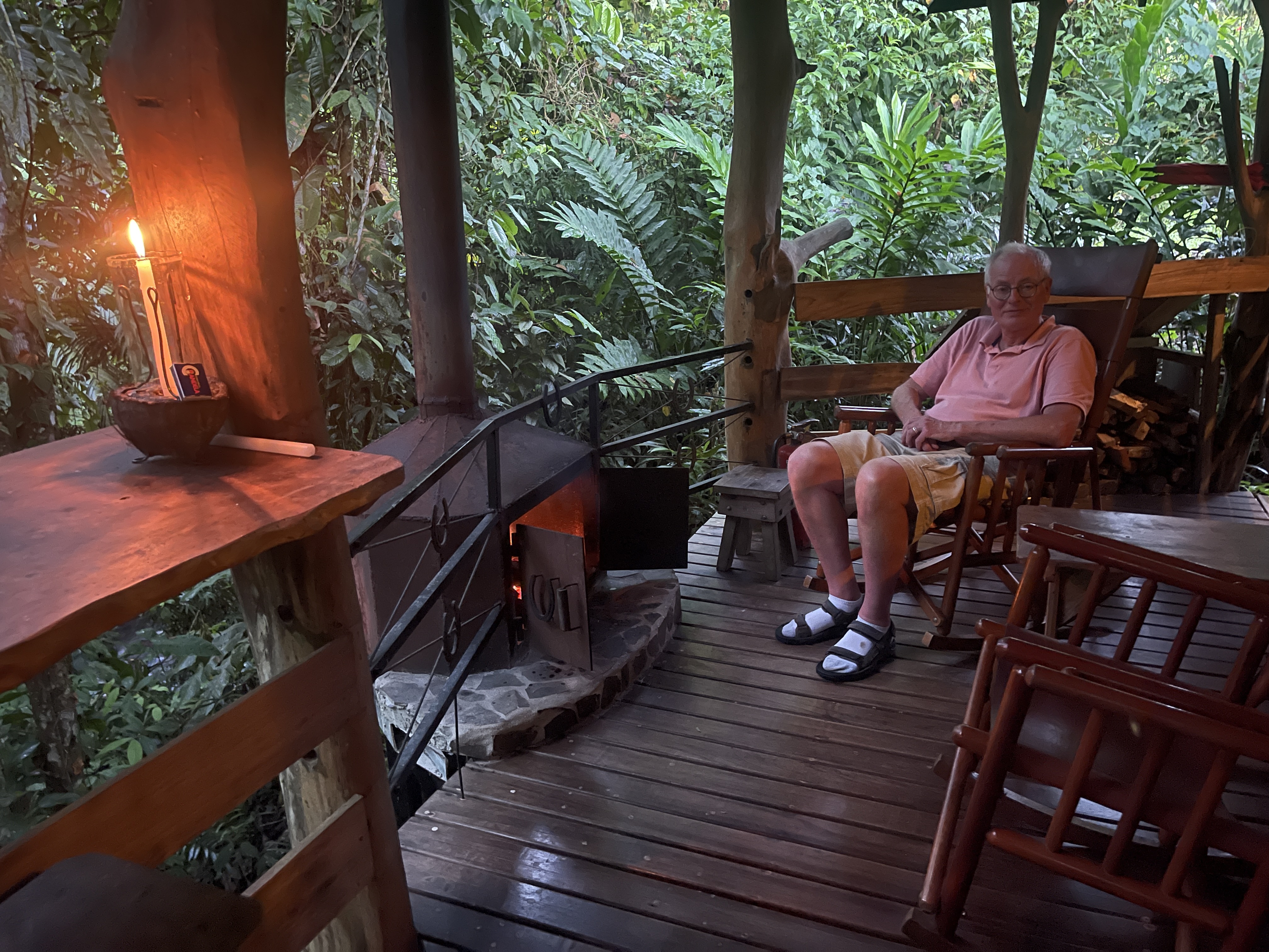
Although the lodge does not serve alcohol, guests are allowed to bring their own. Rich ensured we were well supplied with Chardonnay, and the four of us installed ourselves in the riverside chairs at the Lodge for happy hour. Accompanied only by the sounds of water and birdsong, we sipped past sunset toward dinner.
We wondered if we might be hot during the night. Throwing all the doors and windows open to catch the breeze, we were surprised to sleep comfortably even under the red wool blanket. Not once did we deploy the mosquito netting. Waking during the night, my eyes sought the windows where I saw only the blackest of blackness accompanied by the roar of the river, sweet white noise.
Mornings before breakfast were good times to explore. There were extensive farm fields, pastures and a hiking trail on the far side of the grounds. While Rich hunted birds, I made my way to the stables adjacent to the horse pen where I donned a small pair of rubber boots then continued up the path toward the pastures. One morning Jon and I followed the hiking path along the river, unsure how far it went, and stretching the limits on our meeting time for breakfast.
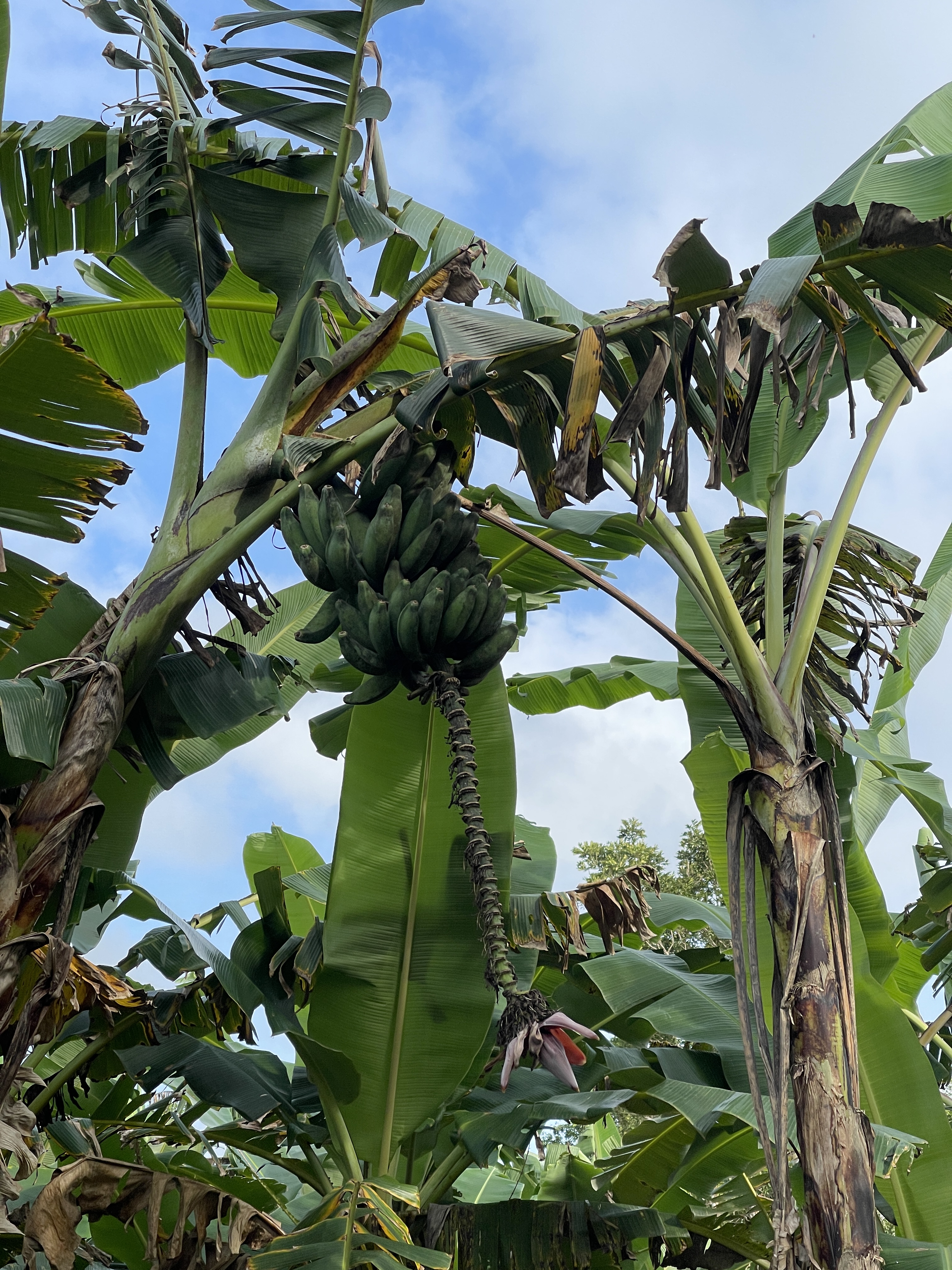
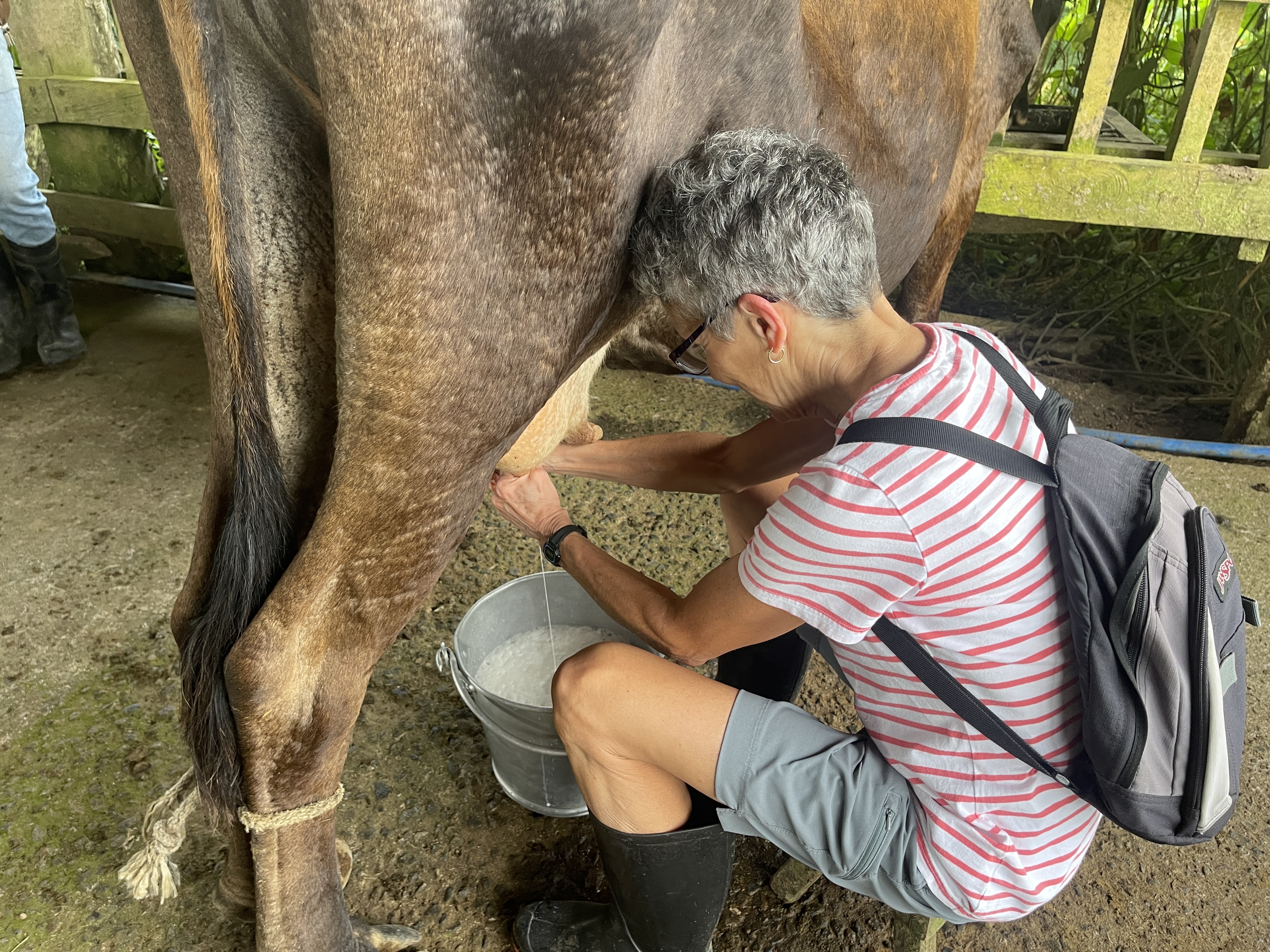
The next morning we took in the farm fields and pastures, marveling at the orchards of bananas and pineapples, and contented cows. I eventually worked up the courage to milk a cow for the first time ever!
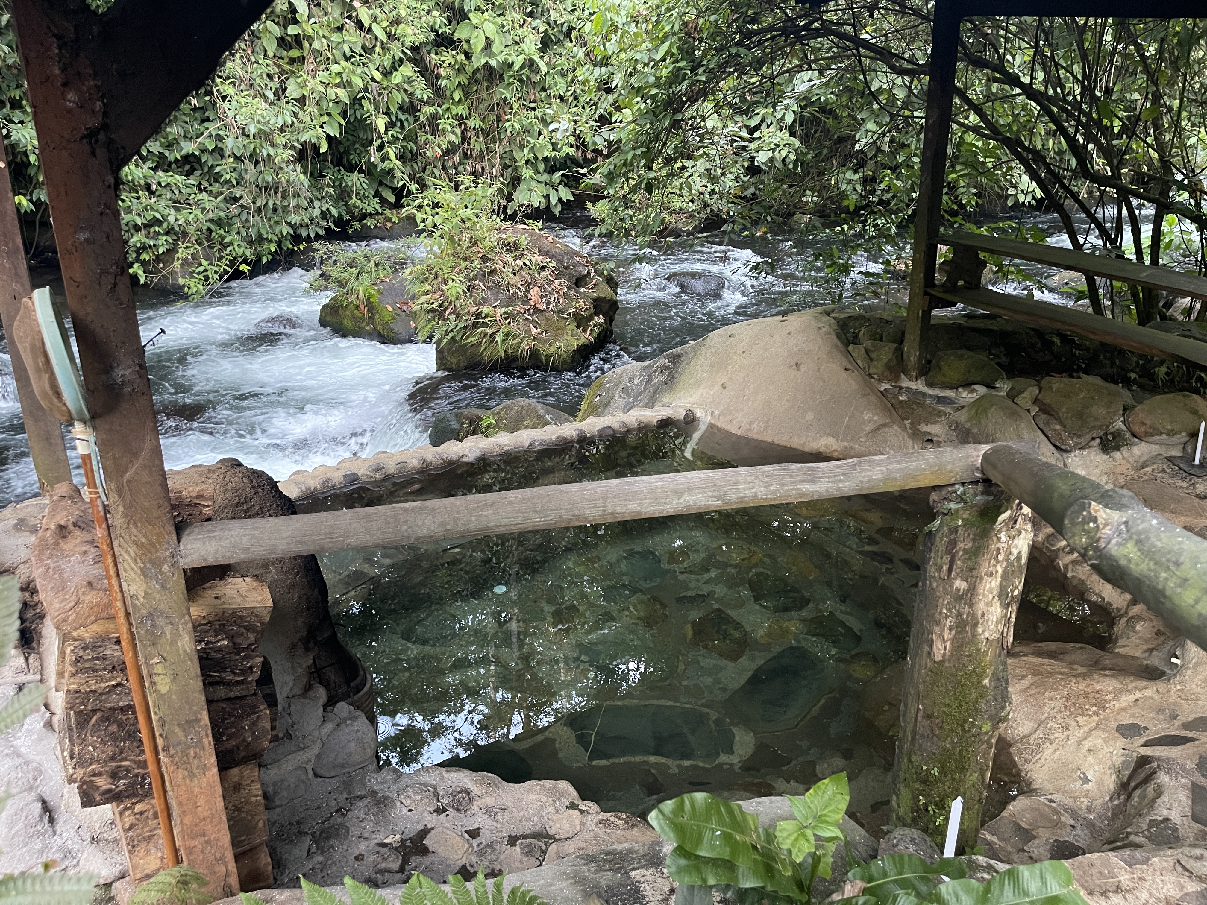
The abundance of tropical flowers ignited my desire to do some sketching and painting. It was too hot to sit and draw in the sunlight, so I took photos and retreated to the deck to ply my nascent craft. When progress waned, the swimming hole was the perfect place to refresh my spirit. Another day Beth and I soaked in the streamside wood-fired hot tub.

Although I’d scoured the website beforehand and devoured the beautiful photos of this off-the-grid haven, none of it compared to the real thing. This was rainforest bliss.


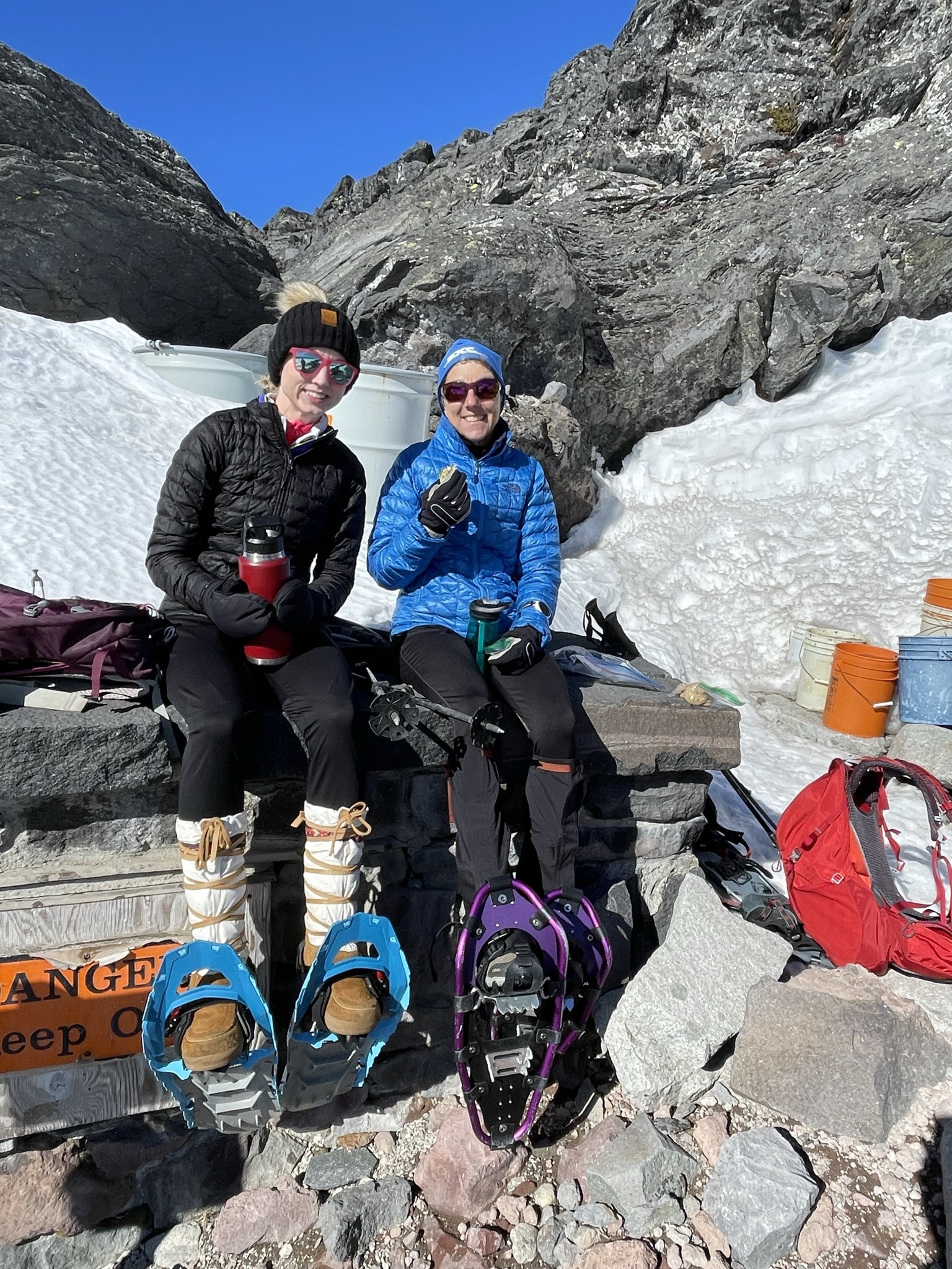
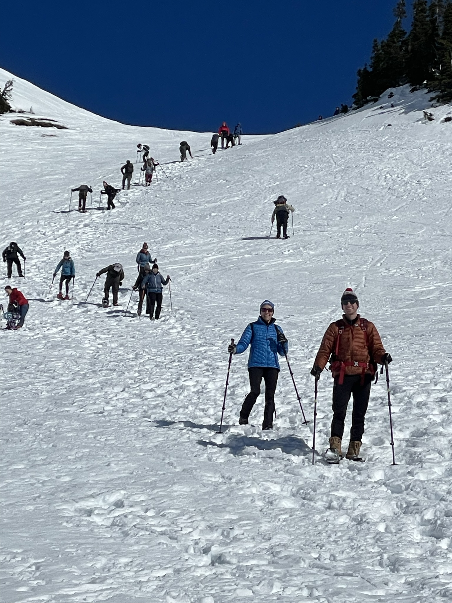


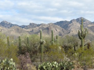

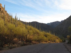
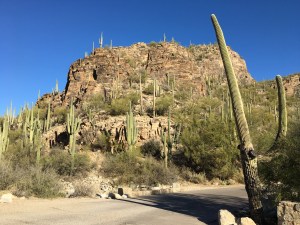
 From 9-5 daily, open air shuttles own the road, carting hikers to their trailheads or sightseers merely wanting an easy narrated tour. Pedestrians are allowed on the road, but bicycles are restricted to the park hours before 9 or after 5. It doesn’t take me long to discover that those are the prime hours anyway. The golden hours.