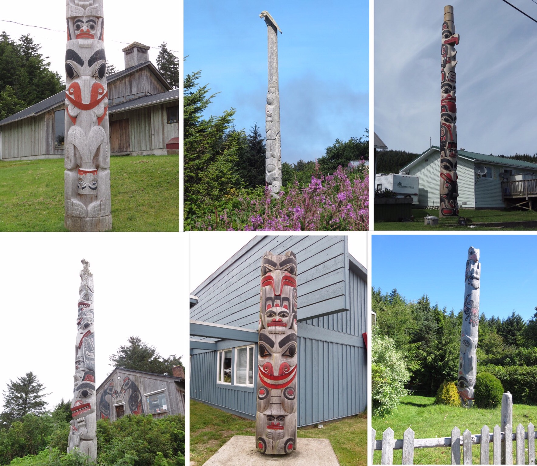
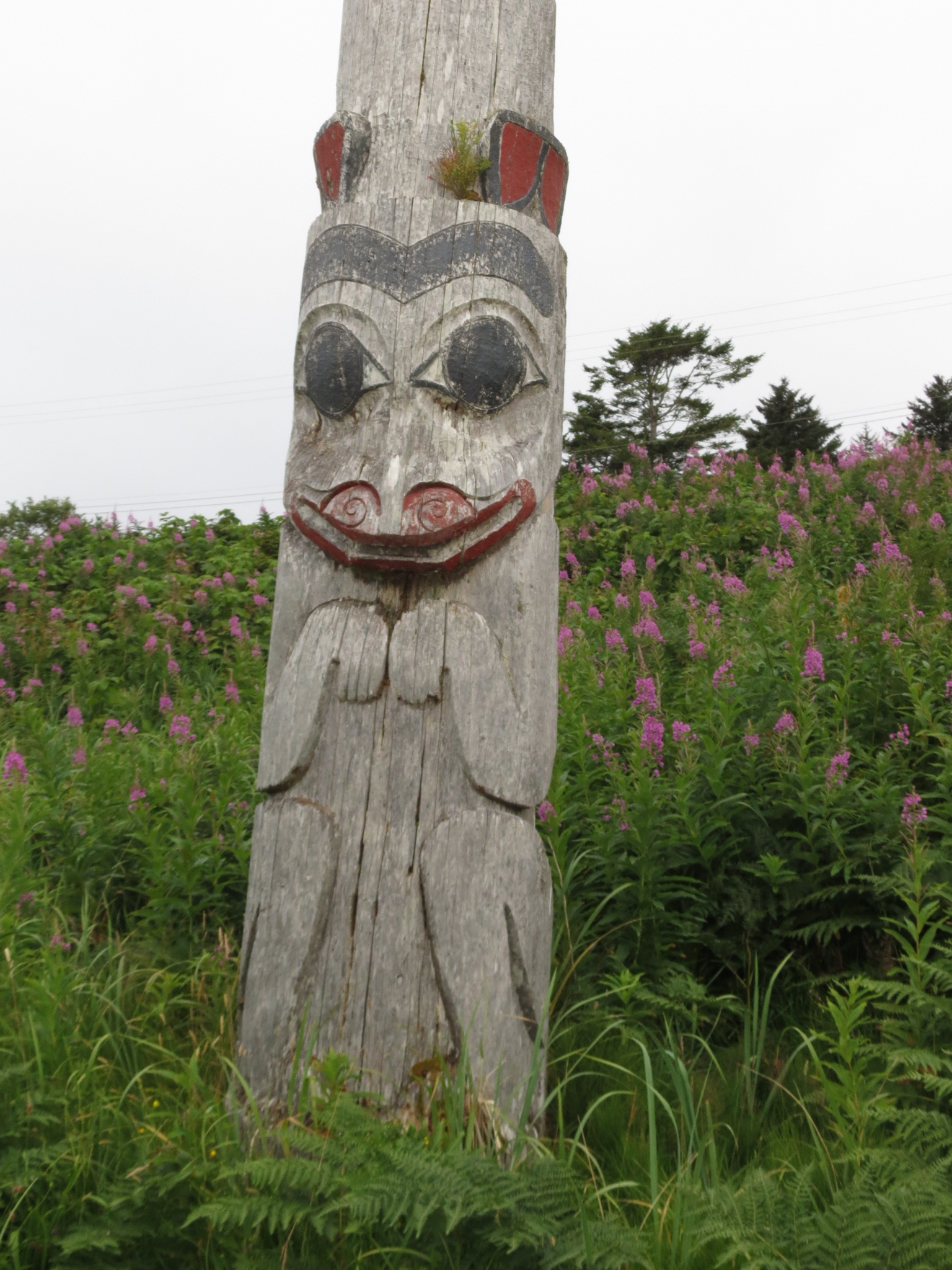
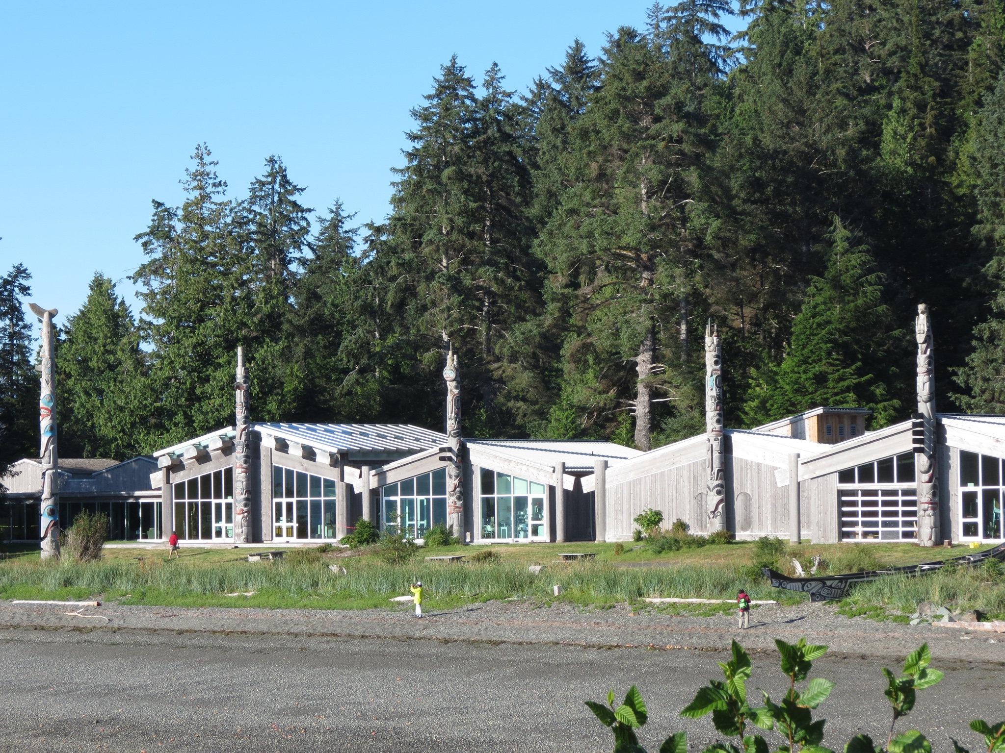
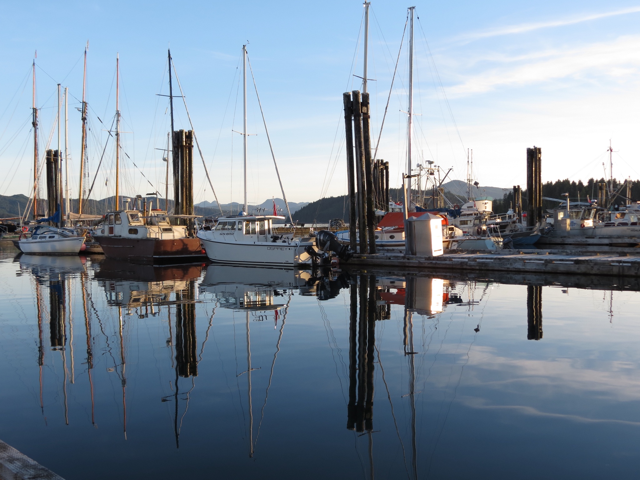
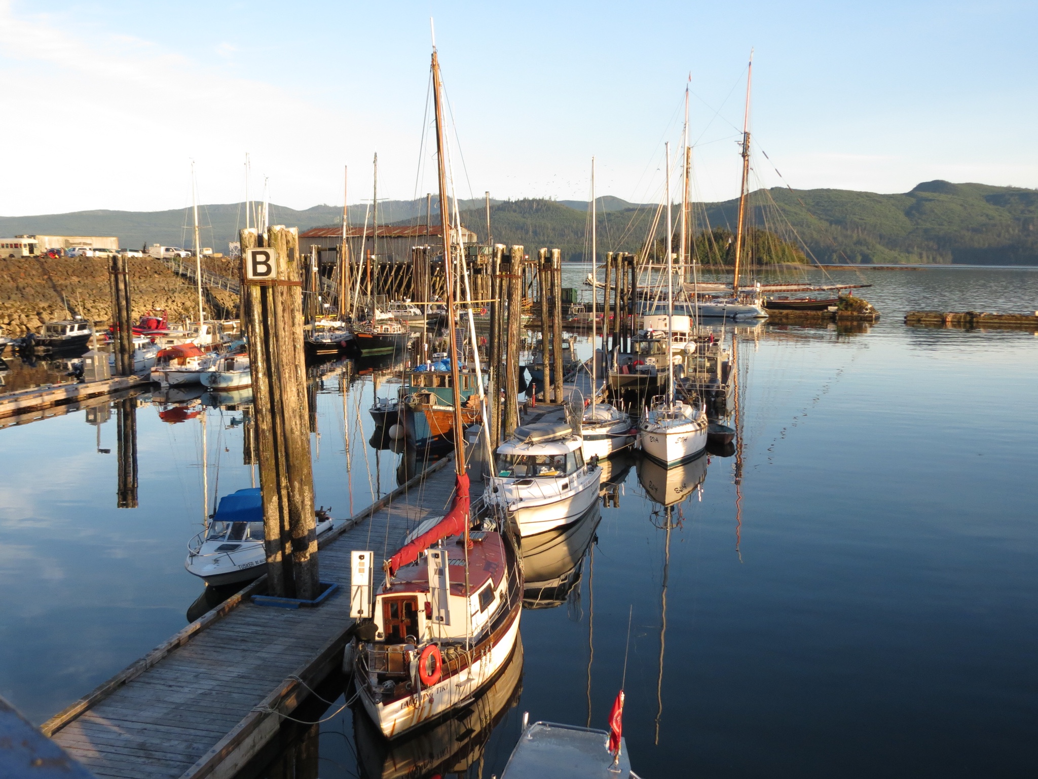
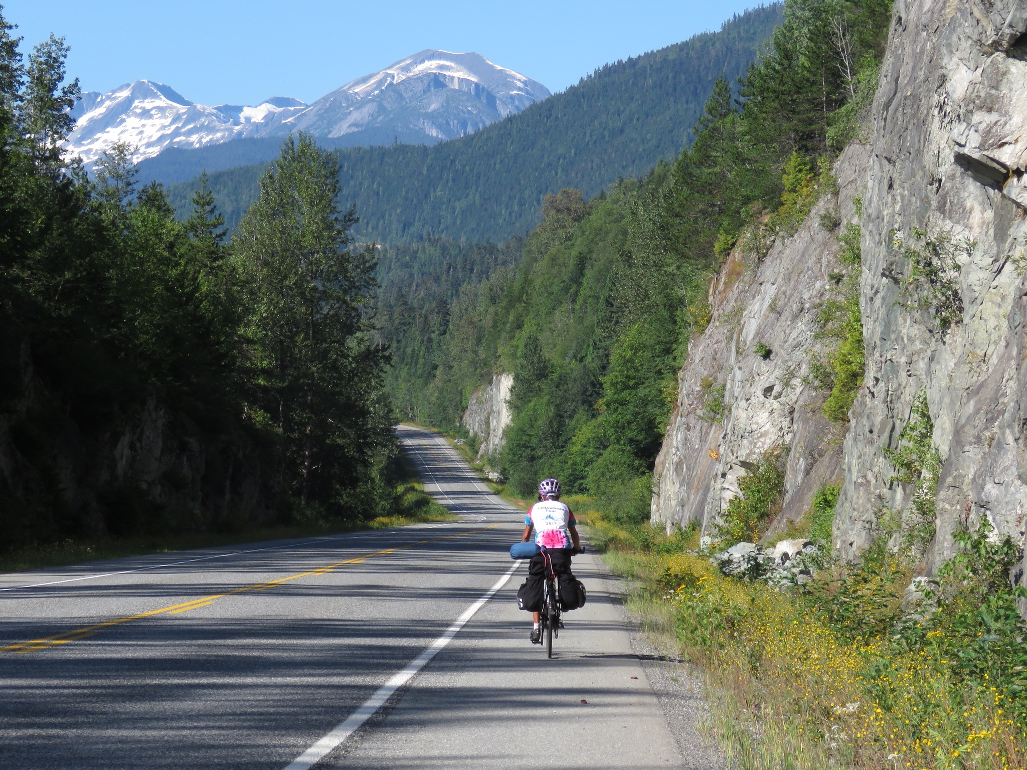
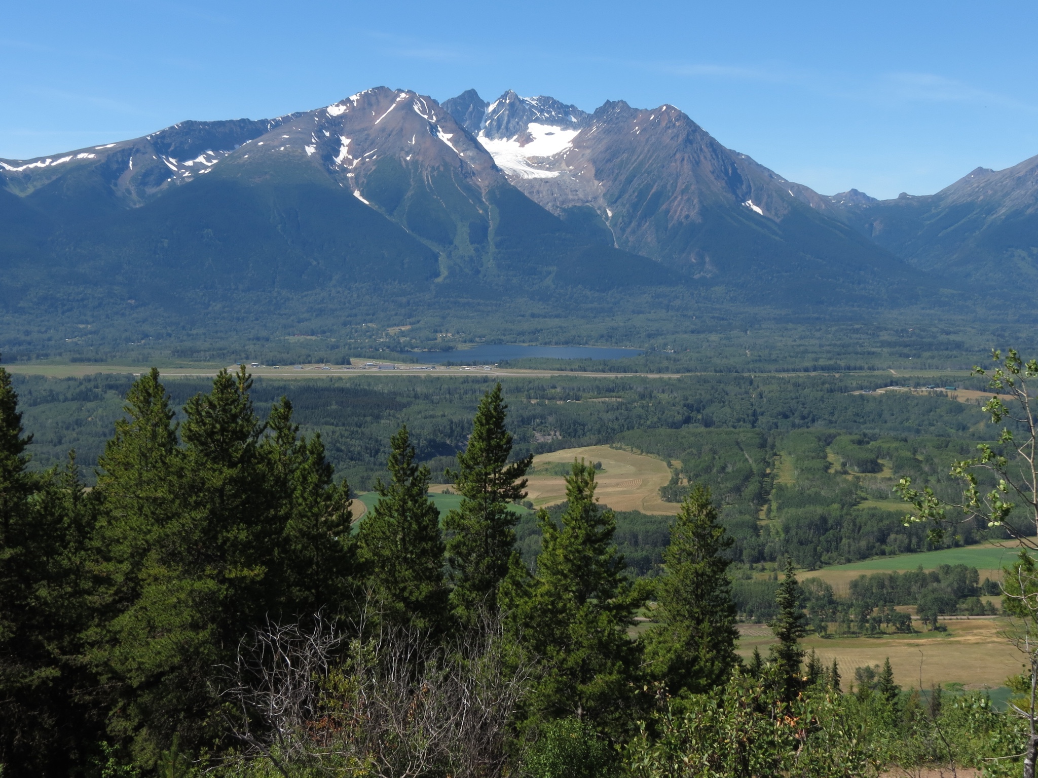
It didn't take long to get into the relaxed mode of life on Haida Gwaii. With four days and only 70 some miles of paved roads available, there was no reason to hurry. No need to push on to the next locale. Only time to savor the journey. The mood permeated our days. We stopped more and lingered longer. On the out-and-back trip we found different natural attractions in each direction. Not too surprisingly, water became the common theme.
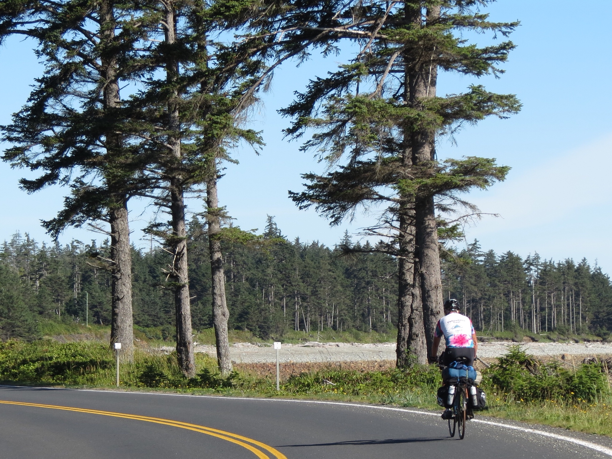
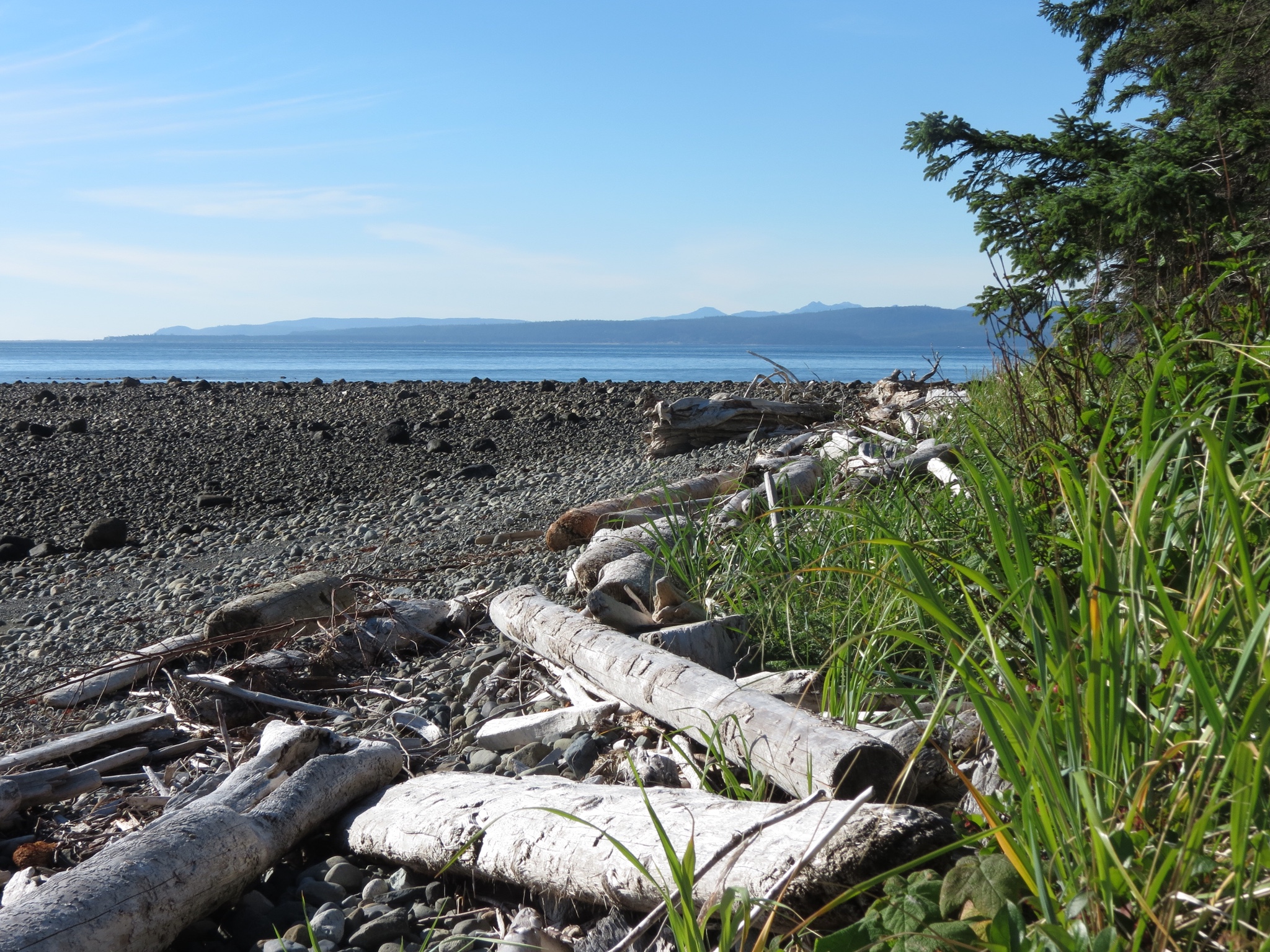
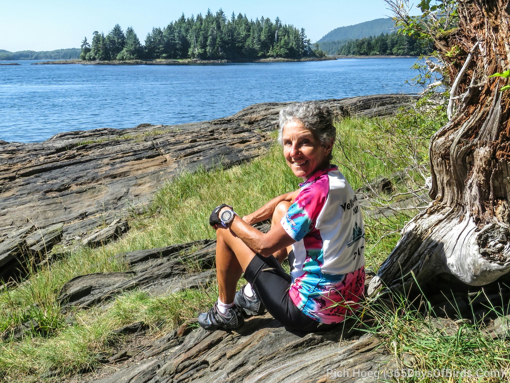
For starters, we had miles of unbroken cycling along the eastern beaches. With the sun pouring down and the tidal pull of blue waters lapping the shore, it was all the scenery I needed. At first, we passed rough and rocky shoreline. Jaggedy dark rocks of medium size covered in calcified barnacles obliterated the sand. The shape of the beachfront changed constantly at the whim of the waves. It looked uninviting to my tender feet. But I admired it from a distance. Biding my time, the beach morphed once again. This time sandy shores beckoned and I called a time-out. The protected spot was quiet and calm. I shed my shoes and socks and the sun-warmed water lapped my feet as I wandered the beach.


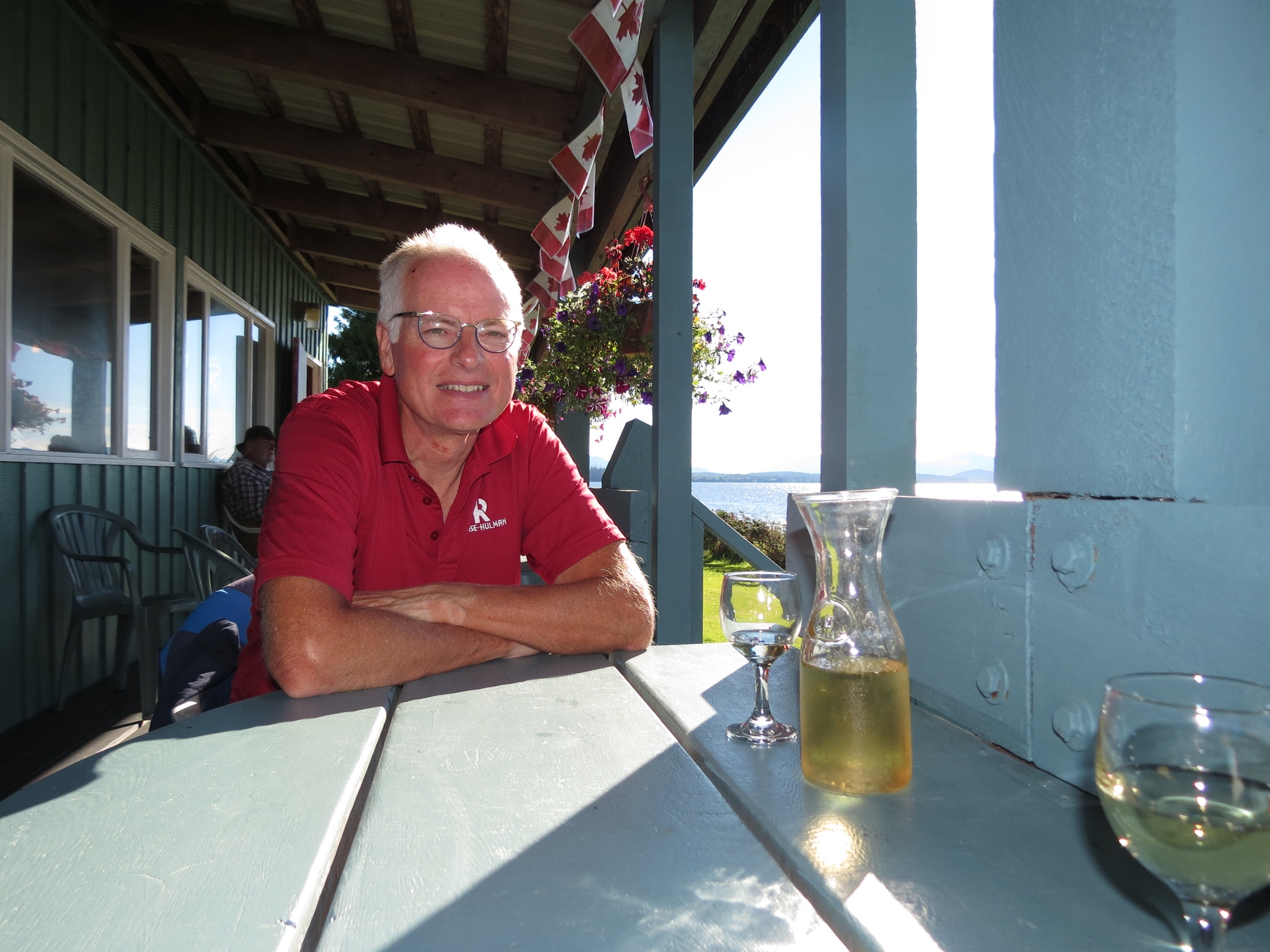
Near that same beach, the Crow's Nest in Tlell was an unexpected find. What showed up on the map was a Post Office. In reality, it had a bakery, light cafe, organic groceries and espresso drinks! Their still warm sausage rolls in flakey pastry hit the spot, especially as we had anticipated a long stretch before finding food. I lingered luxuriously while horses grazed contentedly in a pasture behind me.
Coffee shops are a natural magnet when we are cycling. Not only do I get my latte, but frequently we strike up conversations with locals. It was while sipping my brew one day that I met a friendly couple who answered my question about the rocky and sandy beaches. “They are constantly changing,” they explained. The rocks were thrown up on shore by a large storm. Next week they could be swept away again. The swimming area they currently enjoy at high tide may be gone tomorrow.
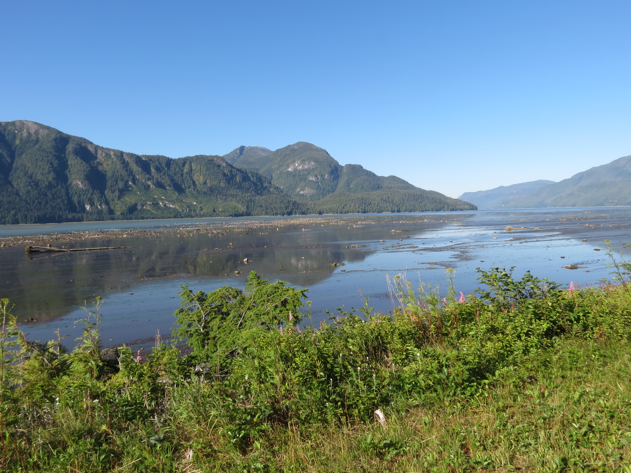
Crossing the island, we reached the Masset Inlet, a long tidal opening reaching down from the northern coast. Overnighting in Port Clements on its shores, we had ample opportunity to meander its shores and dine overlooking its waters. One of the villagers explained to me how she came to be the third generation to relocate to Haida Gwaii. “Groceries are really expensive here because everything has to be brought in,” she admitted. “But there are no other demands on my pocketbook. There are no malls. I walk the beach for entertainment. And there is such strong community here.” She didn't mind being “cut off” from the rest of the world. Neither did we.


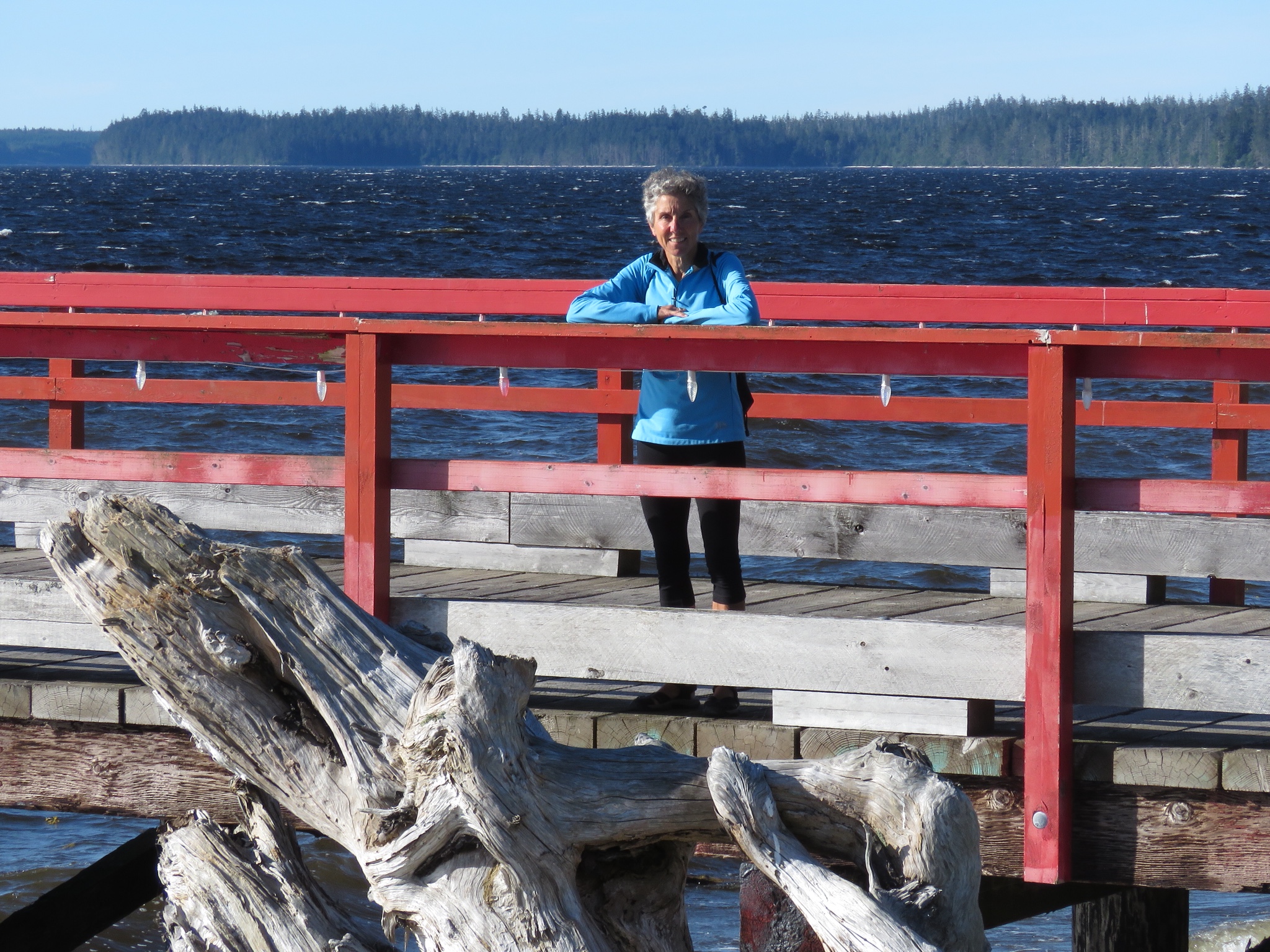
Reaching Masset on the north end, I was especially keen to get to the North Beach and camp there. I also had my heart set on hiking up Tow Hill for its amazing view. Both are iconic sights on Haida Gwaii. But it wasn't to be. The road out there turned to rough gravel for the final eight miles. It was not bicycle friendly for our touring bikes, so I had to let go of that vision. But I didn't give up entirely. Although most of the coast up to that point was privately owned, I stumbled on an opening. A tiny community park had a trail which I couldn't resist following.
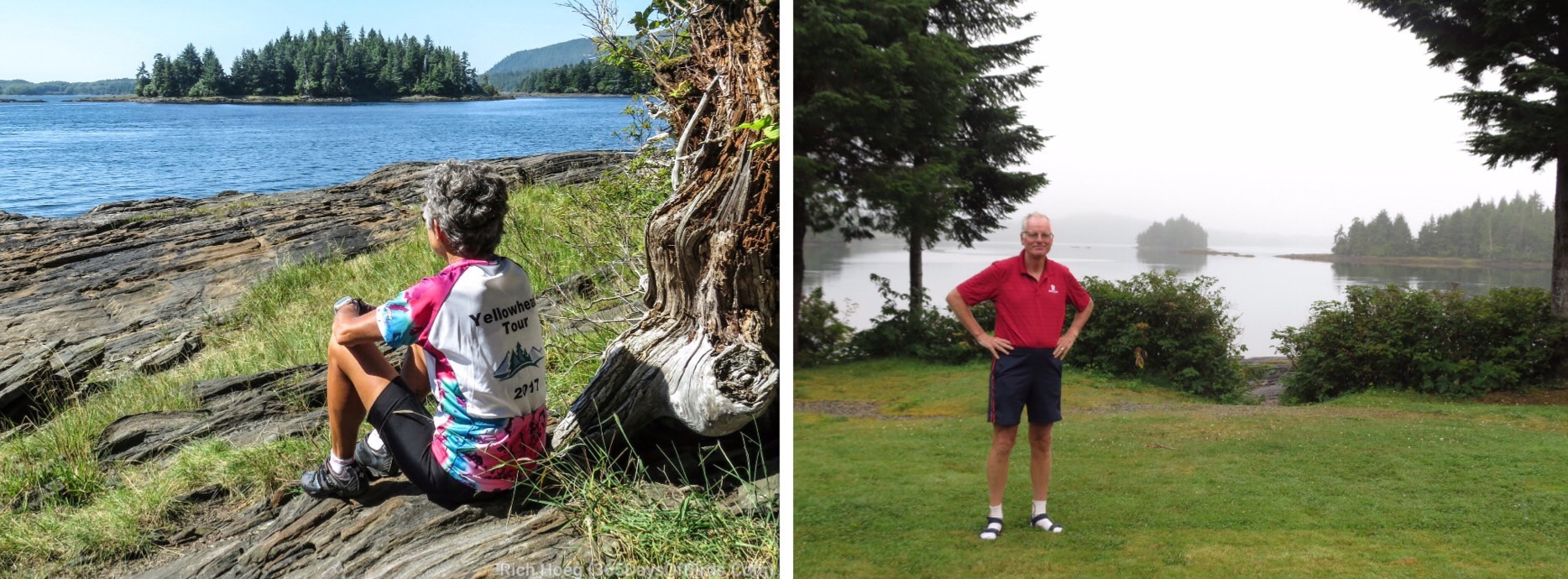
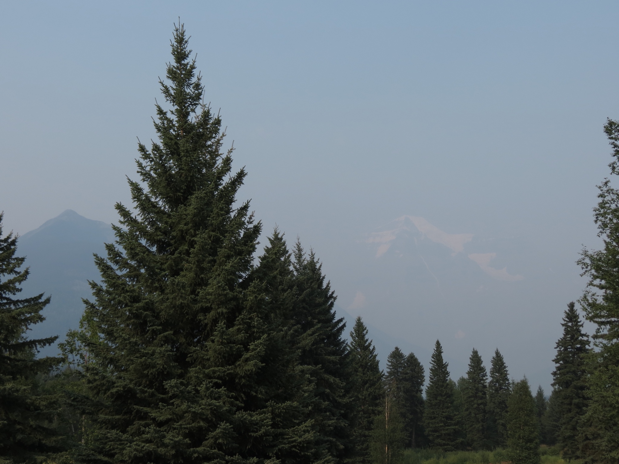
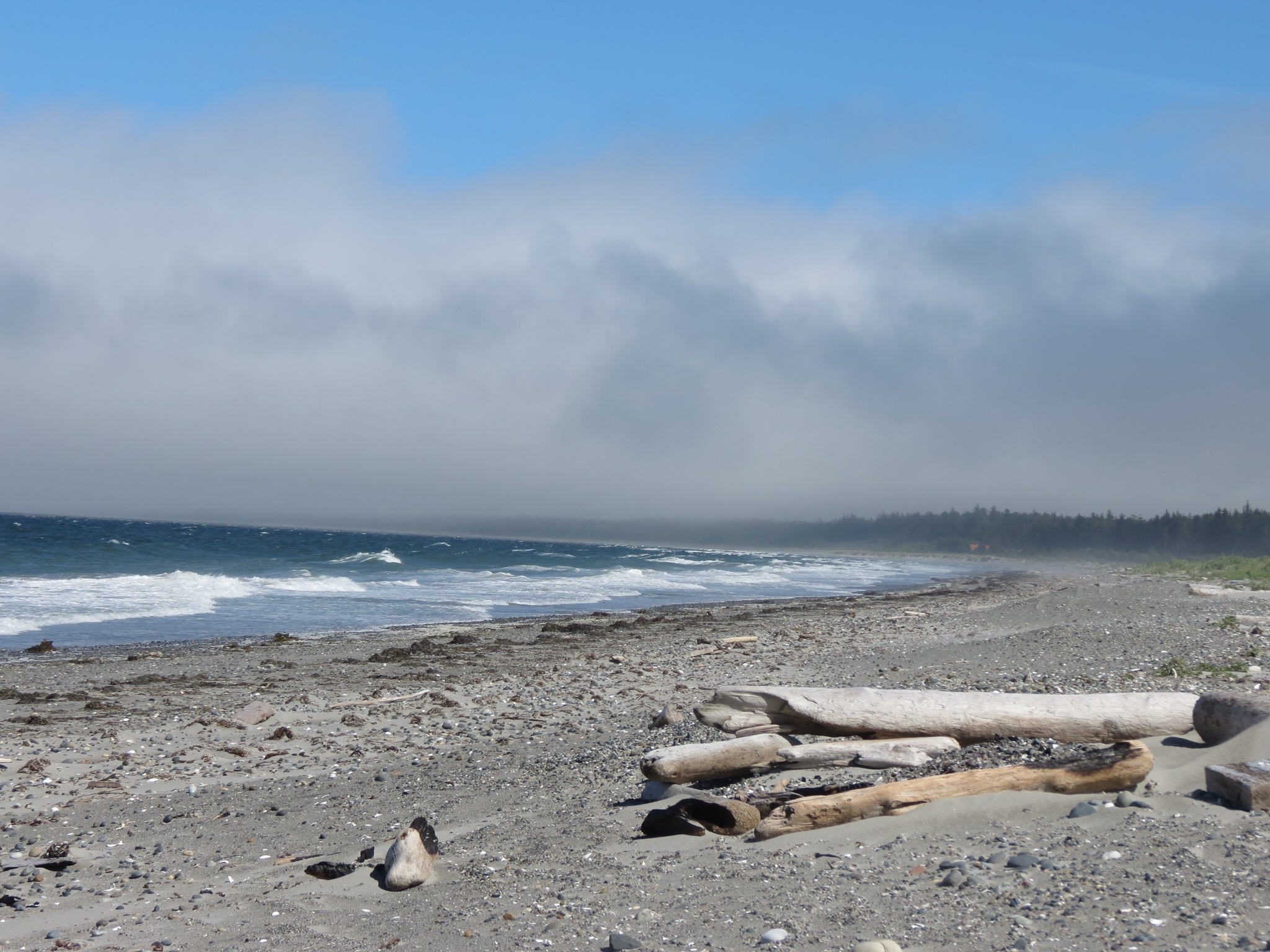
Weaving through dark old growth forest, it emerged onto the dunes and beyond lay the beach! The scene before me was entirely different from the east coast. Here was a raging sea. The wind was fierce and waves crashed on a beach strewn with seaweed, shells, rocks and driftwood. I didn't linger long by the water, choosing to retreat to a sheltered spot on the dune where I could observe nature's fury. Although I had blue skies overhead, a low line of fog and clouds rested on the water. Looking to the far end of the beach, it disappeared into the same fog bank. Tow Hill was nowhere to be seen, cloaked in mist. Perhaps it wasn't the best day for camping after all. That salved my disappointment, slightly.


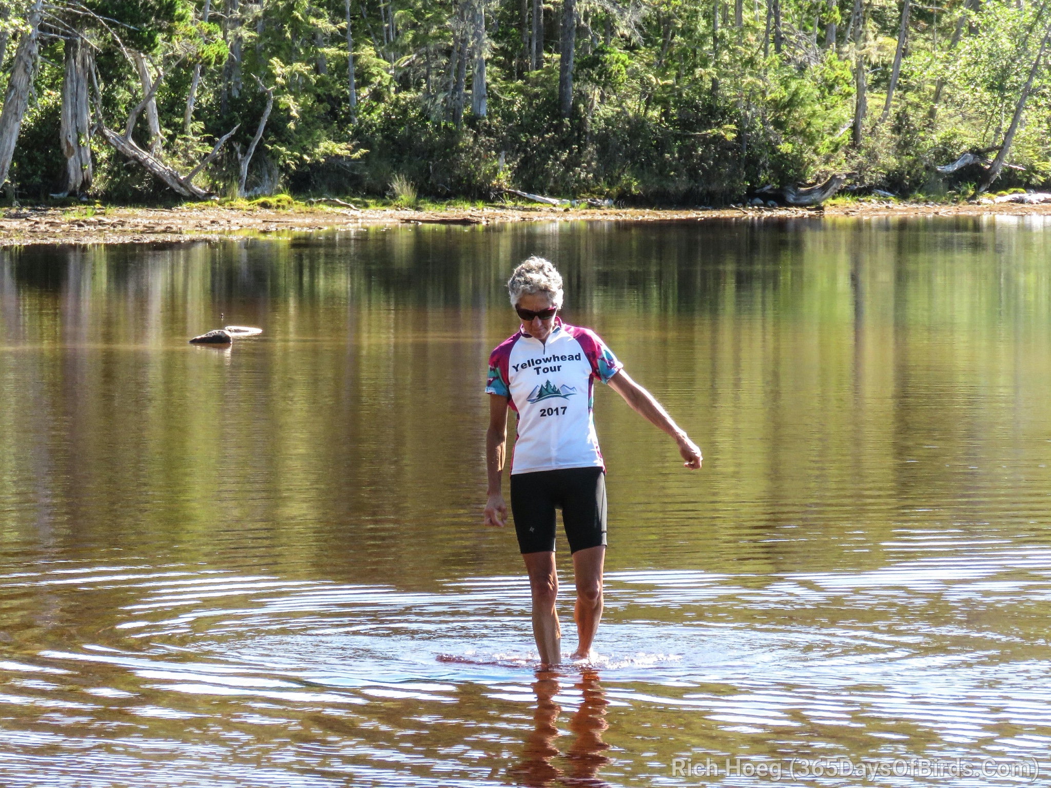
The most refreshing water I found was not salty at all. Pure Lake was just a short hike from the road and offered a small stunningly blue lake. My coffee shop friends had mentioned it was warm and good for swimming. Wading through its clear shallow waters was not enough. I just had to take the plunge!
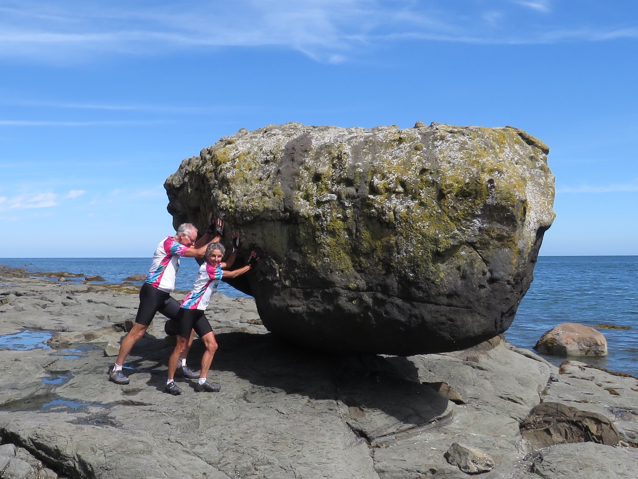
For our final aquatic encounter we sought out Balance Rock. Precariously perched on a logistically minute corner, it hovers over a flat rock bed that reminded me of Lake Superior's North Shore. The last glacial retreat is credited with leaving this van-sized boulder here.
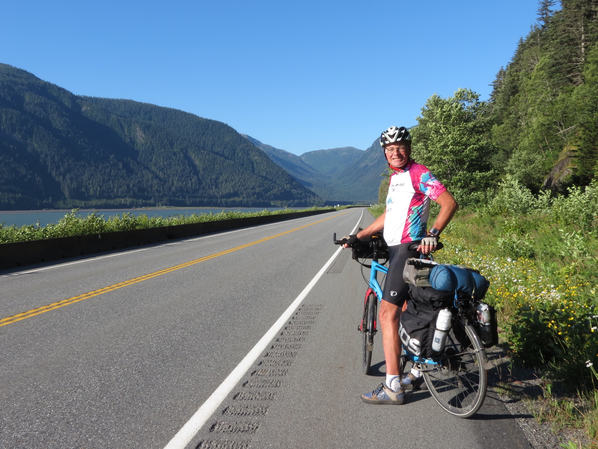
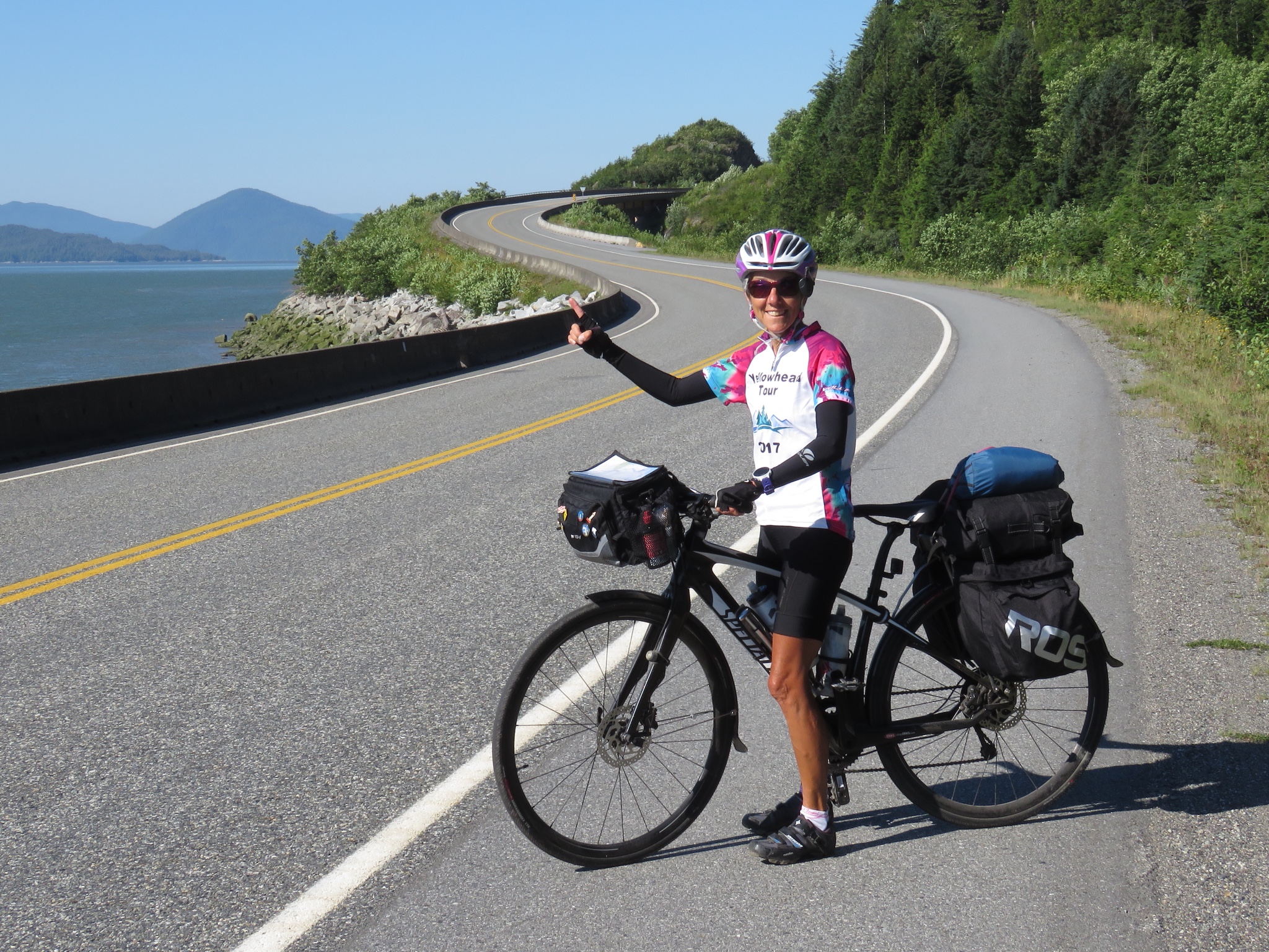
Haida Gwaii offers endless opportunities for outdoor pursuits. Fishing, hiking, kayaking, surfing, crabbing and back country camping attract enthusiasts of all kinds, although its remote location ensures that it is never crowded. Our four days and bicycle transport limited us from partaking in these other alluring activities, but I think we did justice to the waters of Haida Gwaii.
 I find just what I’m seeking a mere mile from home. Rocks. The Rocks, of Brighton Beach. Big boulders where I can nestle into a chair-like cranny. The morning’s wind has stirred up the lake, delivering endless waves bouncing off said rocks. The sound alone is enough to envelope me. I feel the solitude despite others clamoring among the rocks around me. The wind on my face is refreshing, offsetting the warmth of the sun pouring down. I was right to come here.
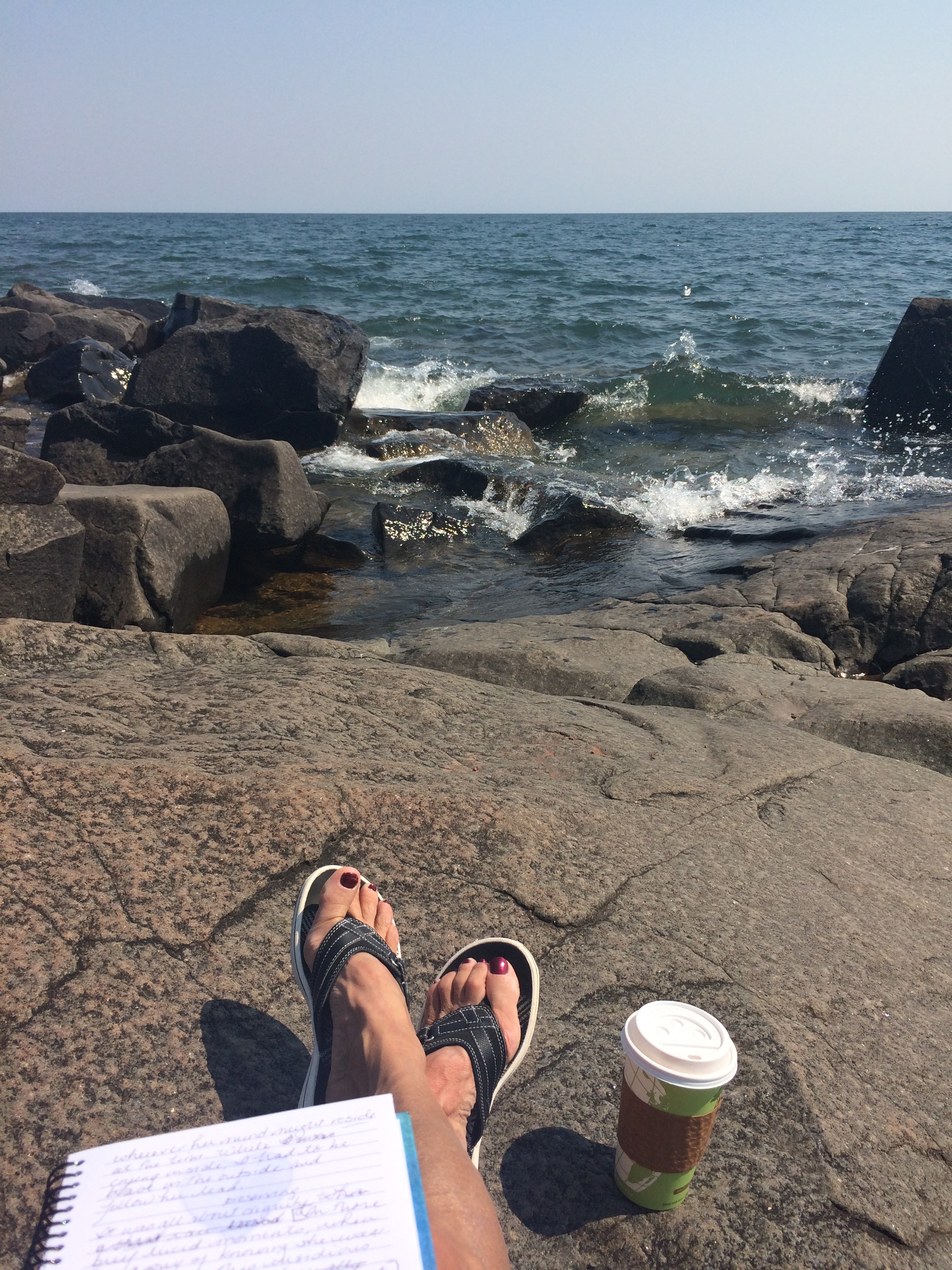 I forgot my sunglasses. Neglected to bring my camera. But I remain. I procrastinate by trying to capture the splashes with my cell phone. Pen and paper replace my usual keyboard and screen. And it feels good. The tactical exercise of forming words manually is in harmony with the natural elements that surround me.