It’s finally time to break the silence. I’m sad to say this poor blog has been neglected while I took a time-out to focus my writing on CaringBridge to chronicle my cancer journey. It filled a need, to be able to focus on coming to grips with cancer, healing from surgery, and working my way through chemotherapy. But even more so to process my feelings, share my experiences, and connect with a caring community that supported me all along the way. I invite any of you to read my story and posts here.
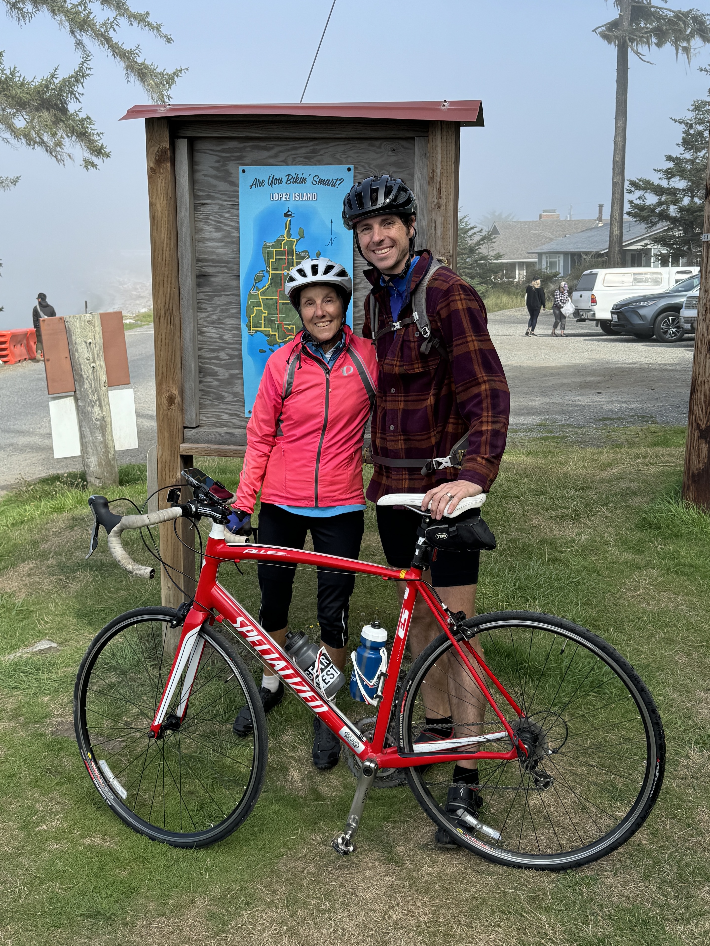
Throughout this time I’ve continued to be as active as possible, first doing a lot of walking then adding cycling, gradually working back up to regular 25-mile rides up the shore. So when I was planning my trip out to Seattle to visit my son Erik and his wife Katie, I couldn’t help but think about last year when Erik and I cycled all of Orcas Island in the San Juan Islands. At the time, we pondered riding on Lopez Island next time, a prospect that loomed large as I packed. Could I manage it now? It had the advantage of being smaller and less hilly than Orcas, and I craved the opportunity to return to some adventure in my life.
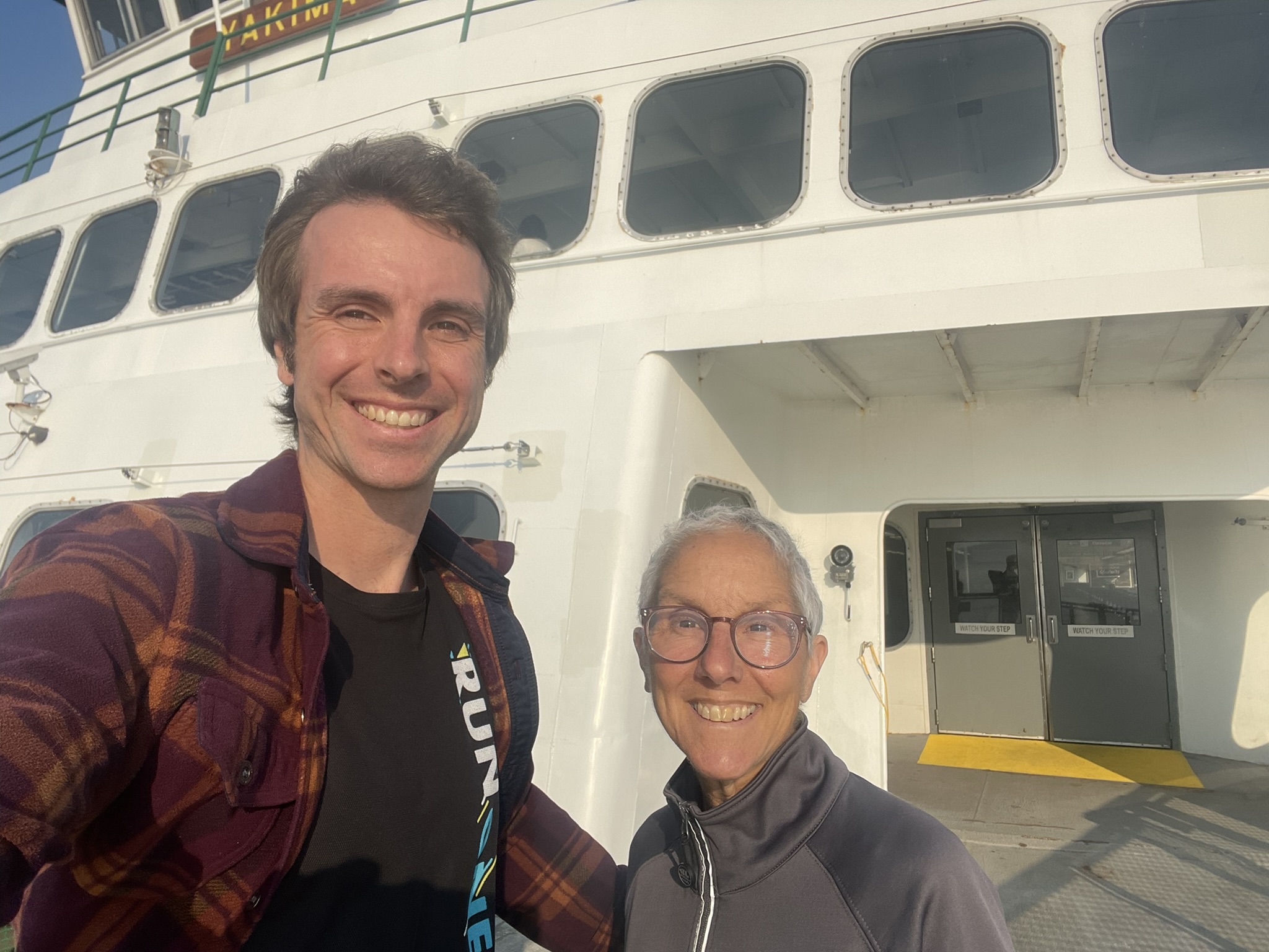
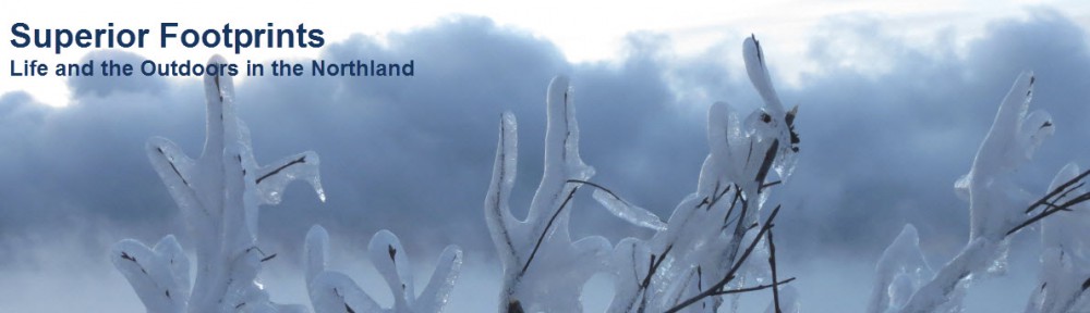
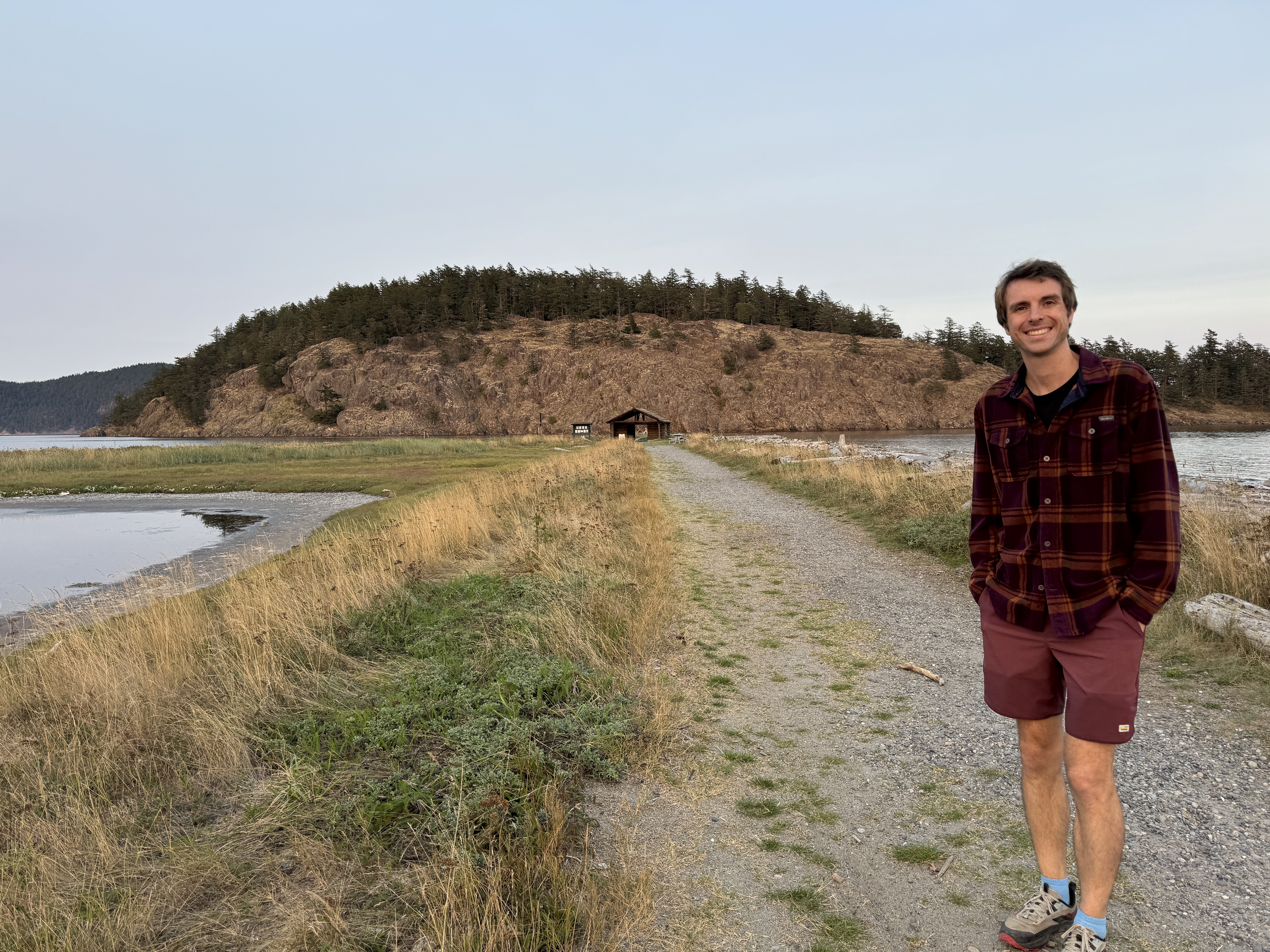
Not only was Erik game, but he proposed an add-on. “Why don’t we go over the day before and camp overnight?” We arrived on the ferry in the late afternoon and made our way to Spencer Spit State Park. We had reserved a walk-in site on the beach, and oh what a gem! The local currents had created a sandy triangular spit of land that stretched across the gap almost to Frost Island. There was a log structure out near the end, and a pool of water in the interior. We quickly dropped our gear and set out to explore. We learned that the shape of the spit changes with the currents, but will never reach the far island due to the strong current in the channel.
We admired the sun setting over the trees behind us, then returned to our campsite to set up and make dinner before it got dark. The meal was extra tasty, as it always is in the simplicity off the outdoors with a tent. We bedded down with the lights of yachts bobbing on buoys just beyond our shore and the sound of waves lightly lapping.

Morning brought fog. After a hot breakfast and camp coffee, we packed up and stashed our gear in the car. As last year, our goal was to cover as much of the island as possible, and reach the shore on every side. We had found good cycling maps online that showed us the amount of traffic on each road and whether it had shoulders or not. We aimed to ride the quieter roads, that reached the extremities of the island.
Setting out, the fog was so dense that it obliterated all scenery. Looking out at the water was like seeing a white wall! From the park we crossed over to the east side of the island then headed south through Lopez Village and into more rural landscape. There were numerous farms (surprising to us – who farms on an island?), unique house architectures, and a flavor of laid back island life. Just 7 miles along, my back tire went flat. Erik changed the tube like a pro, and we were on our way again in short order.
We made our way to the southern peninsula of the island, out to Agate Beach where we reached the end of the road for the first time. We’d hoped to get out to Iceberg Point, but it was off limits to bicycles, so we made do with a picnic lunch overlooking Mackaye Harbor. Close up we could see boats anchored, but the fog obscured what we soon learned was a huge rocky outcropping beyond. Fortunately, starting then, the fog began to lift. We could still see it lurking in low-lying areas, but it soon became sunny and warm – a beautiful afternoon!
We tootled around that lower bulb of the island for much of the afternoon, exploring each small road until we could go no further. More than once we hit private land short of the shore. I hesitated at the top of a very steep hill, knowing that if I went down I’d have to come back up again. But the adventurers in us enticed us forward, only to find a dirt road not far beyond! We navigated that as well to reach a glass-walled modern mansion in the distance beyond the No Trespassing signs. And for the record, I did walk my bike back up that hill! It was well worth it though, for the quiet, woodsy small roads we traveled.


We had made plans to take the 4:15 ferry back that afternoon, and after checking the time we decided we needed to beat it back to the car. So we took the main road up the center of the island, which turned out to be fine despite its high traffic designation. We got back to the car with time to change out of our cycling clothes and mount the bikes on the car rack and head to the ferry. But we were mystified to find ourselves first in line for the ferry. It just didn’t feel right. Inquiring at the office, we learned that the 4:15 was strictly a walk-on ferry! Only then did it dawn on us that we’d picked that ferry in the early stages of planning when we didn’t expect to bring the car over. Oops!
We had plenty of time to kill before the 6:20 ferry, so we headed into Lopez Village where we loaded up on charcuterie items and headed out to Otis Perkins Day Park where we planted ourselves on a big log on the beach. There we were content to sit, soak up the sun, enjoy our little feast and take in the views of San Juan Island across the water – the very sights we’d missed in the morning fog.
We easily made the next ferry and enjoyed the setting sun as we motored back toward home. Feeling the sun’s still-warm rays, it was easy to bask in the warm glow of another successful island cycling trip. We covered 36 miles, hit all the coasts and saw the island in both fog and sunshine. What’s more, I did it – my body held up, I felt great pedaling through the miles, and relished the whole adventure. Leaving cancer behind. And the mother/son moments were priceless.

Of course, now we’ve set our sights on San Juan Island…
