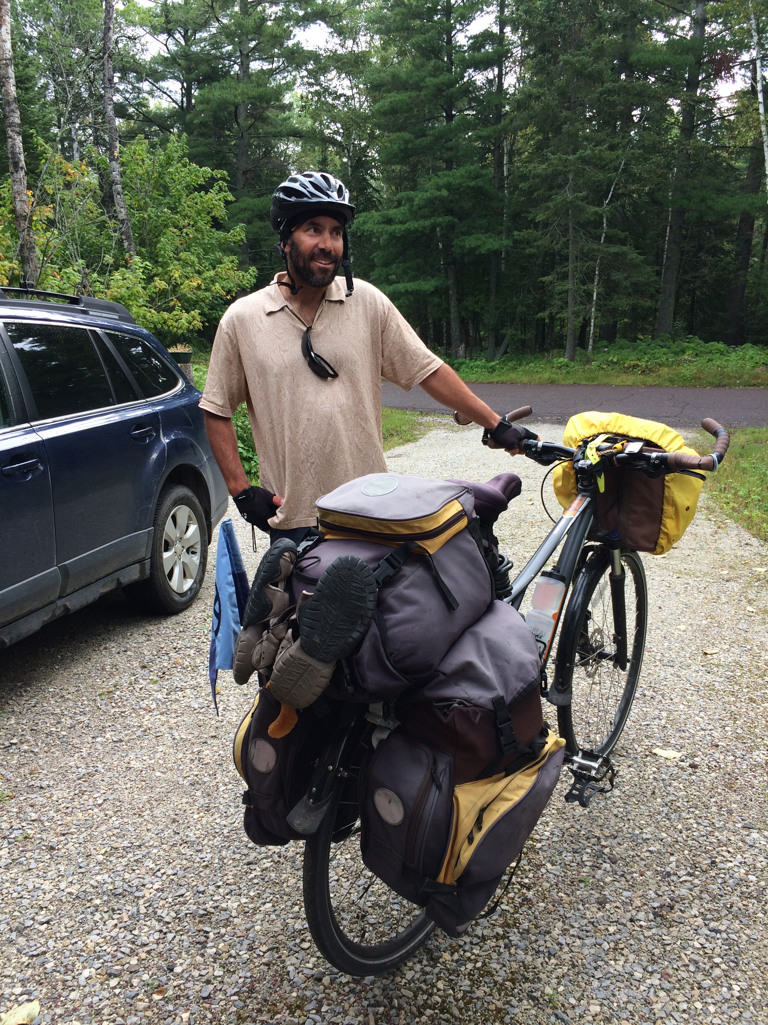
Two jackets, a quarter zip thermal shirt, long sleeve t-shirt, short sleeve Cuddle Dud, arm warmers, biking shorts, tights, wool socks, gloves, toe warmers and a hat. It was just barely enough to stay warm cycling all day. We didn’t pack our heavy Minnesota gear for cycling in Texas, so instead I wore everything I had in my panniers. Yesterday it was 87 degrees. Today never got above 40.
We were warned. Whenever we told folks we were melting in the heat because we were from Minnesota, they responded, “Just wait until tomorrow. You’ll feel right at home.”
Not only was it 36 and windy as we cycled away from our motel, but a fine mist soon coated our glasses and dampened our outermost layers. It might have dampened our spirits as well except for one huge bonus. The 21 mph wind was directly behind us. After battling a headwind for two days, this was a wind we could welcome. Even if it delivered frigid air.

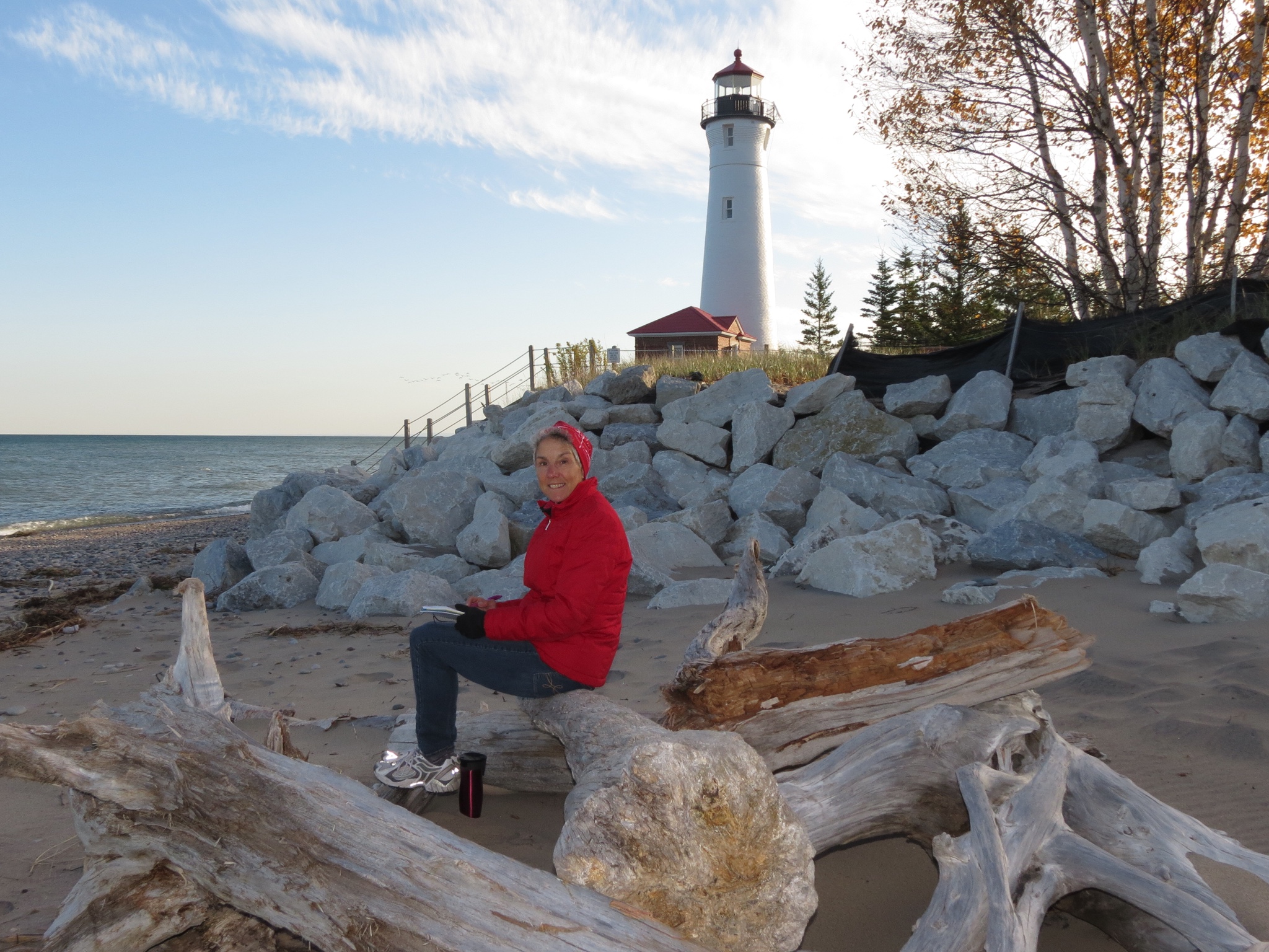
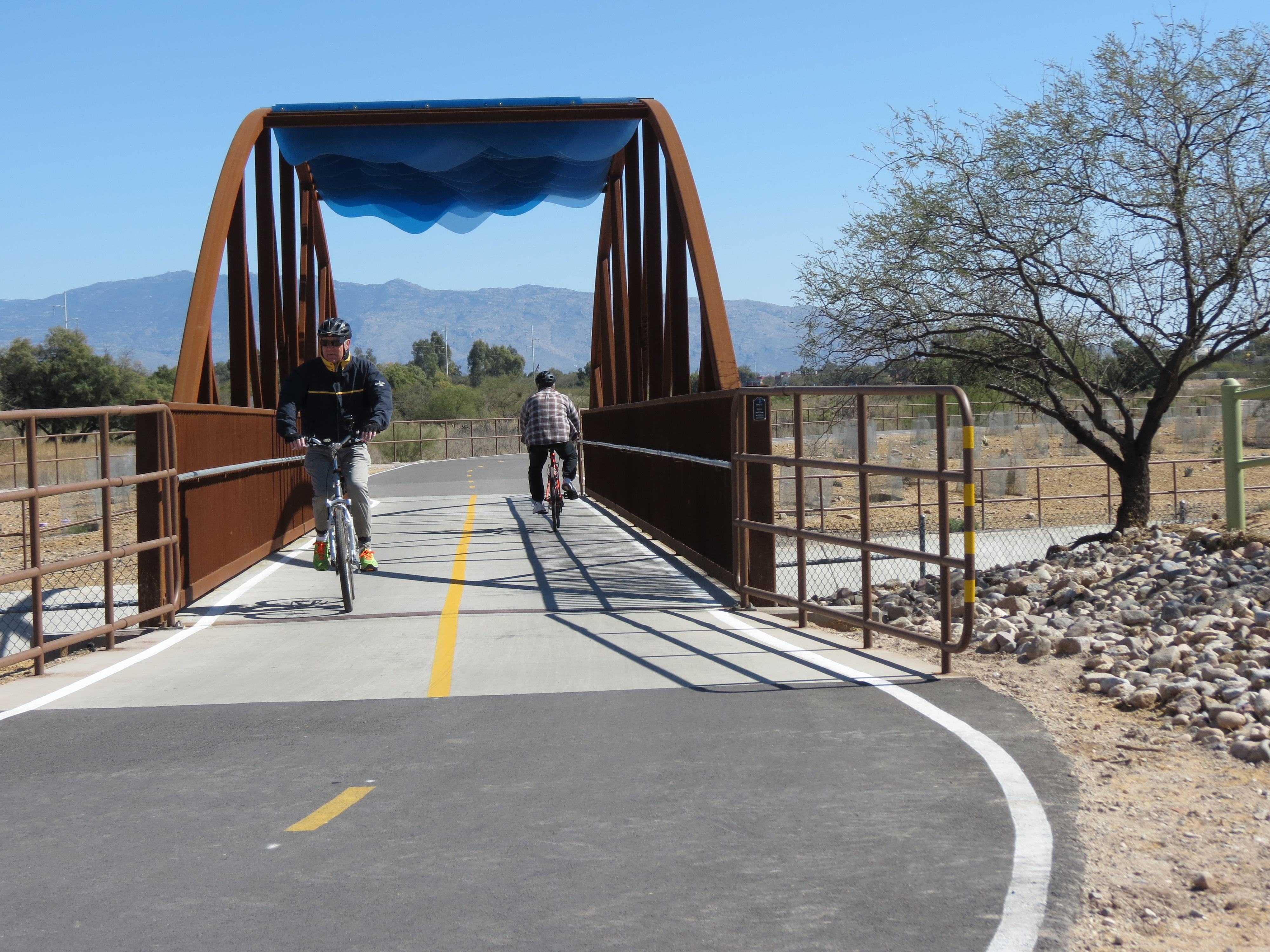
The best way to stay warm was to keep cycling. So I was surprised when Rich randomly stopped halfway down a hill. I was even more surprised to see him wandering into the roadside grasses until I realized he was taking photos. In that weather, I knew it could not be a bird. Instead he was documenting the increasing population of bluebonnets and other wild flowers. There were frequent bunches lining the road and we could tell that some fields were filled with bluebonnets, but in the misty distance they appeared as a dim blue fuzz.

I finally got my latte when we stopped at Oliver and Company coffeehouse in San Sabo for breakfast. In fact, I had two. I’ve never done that before. But they were small, and I still wasn’t warm after one.


Whether it was the double lattes, warm food, extra calories or just spending some time indoors, it felt marginally warmer when we returned to our bikes. Or perhaps it was the absence of mist in the air. But it made the difference between being chilled and feeling comfortable. And it certainly improved our ability to see and appreciate the lush green rolling countryside studded with leafy trees and the occasional longhorn cattle.
Today’s ride was completed in record time. We fairly flew down the road. Uphills were effortless with the wind’s turbo boost. On the flats we easily clocked 20 mph. Our average speed jumped from 9.5 yesterday to 13 mph for today – a gain of over 35%!
Texas is full of surprises. We shall see what the Lone Star State delivers tomorrow.


 Right out of the chute, we changed plans. Enjoying a pre-tour stay on their country farm with my brother Bill and his wife Phillis, we learned that the bluebonnets and other wildflowers were beginning to bloom and it was shaping up to be another bountiful year. That’s all it took for us to reverse direction and head to the Hill Country. Even though we traveled that ground on our last Texas tour, the memories drew us back. So instead of heading East, we are going south to the Fredericksburg area. Since we’ve already broken the mold, we may just change up our itinerary all together. Time will tell, as we make our destination decisions day by day.


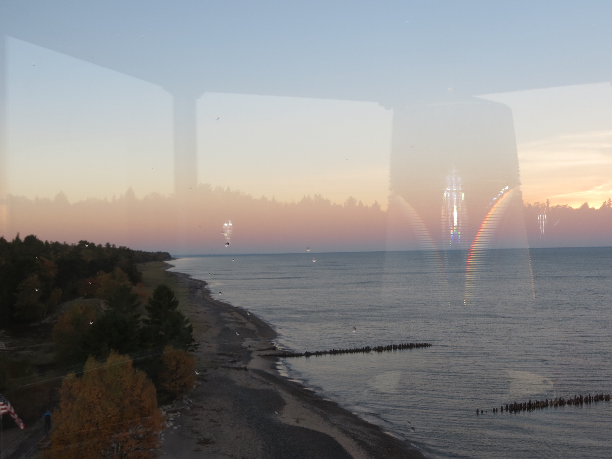
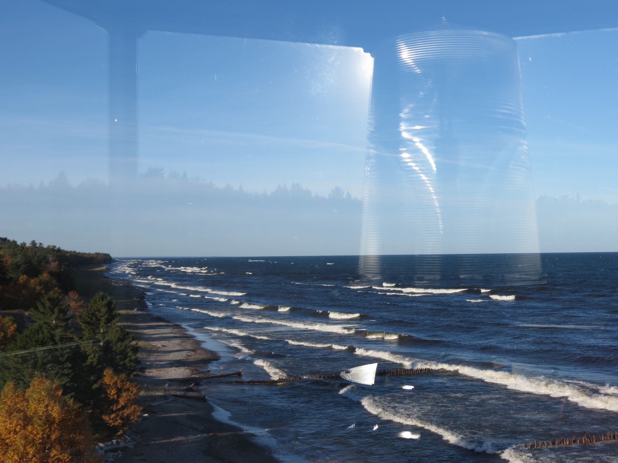
 From 9-5 daily, open air shuttles own the road, carting hikers to their trailheads or sightseers merely wanting an easy narrated tour. Pedestrians are allowed on the road, but bicycles are restricted to the park hours before 9 or after 5. It doesn’t take me long to discover that those are the prime hours anyway. The golden hours.