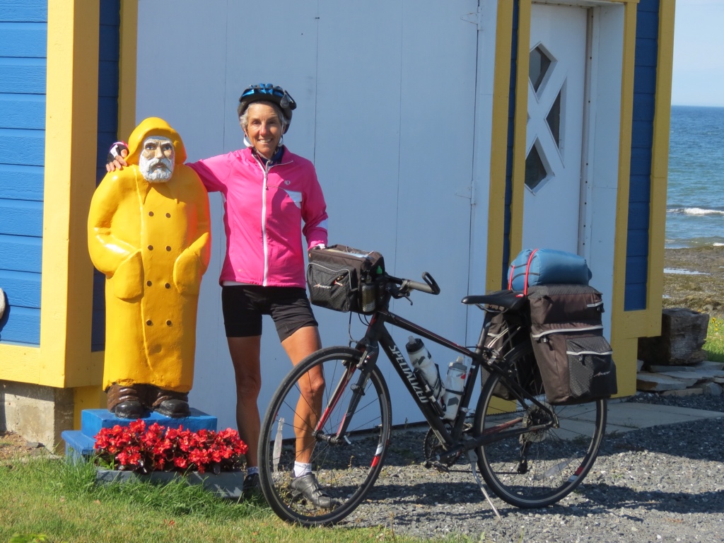
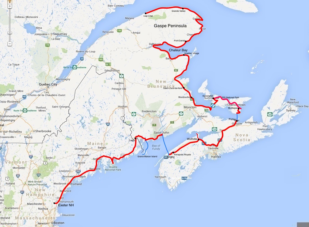
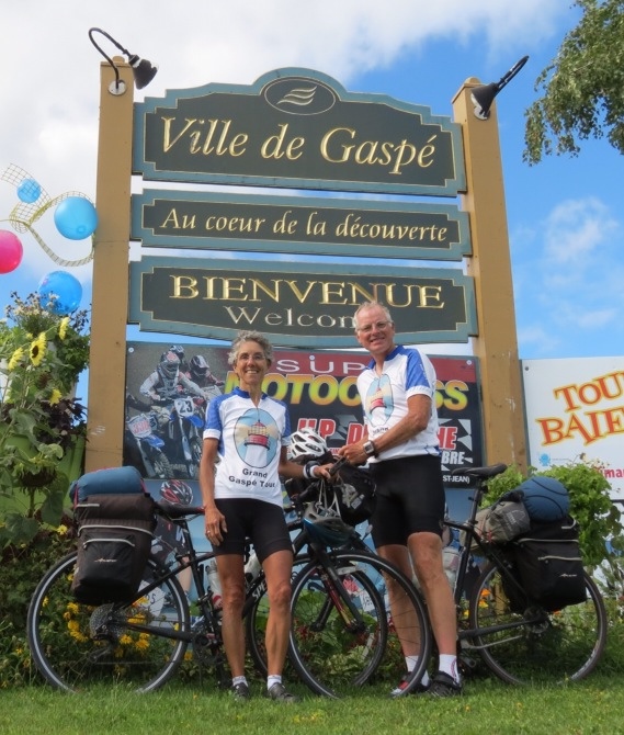
Percé presented us with a dilemma. It is the eastern-most point of Gaspésie situated in a valley between two high ridges, reached by steep and winding roads. I'd read about the spectacular beauty of the area and had my heart set on seeing it. Rich took stock in the advice of another long distance cyclist who sang the praises of the flatter road that bypassed it all. Fortunately, our Warm Showers host enabled us to do both!
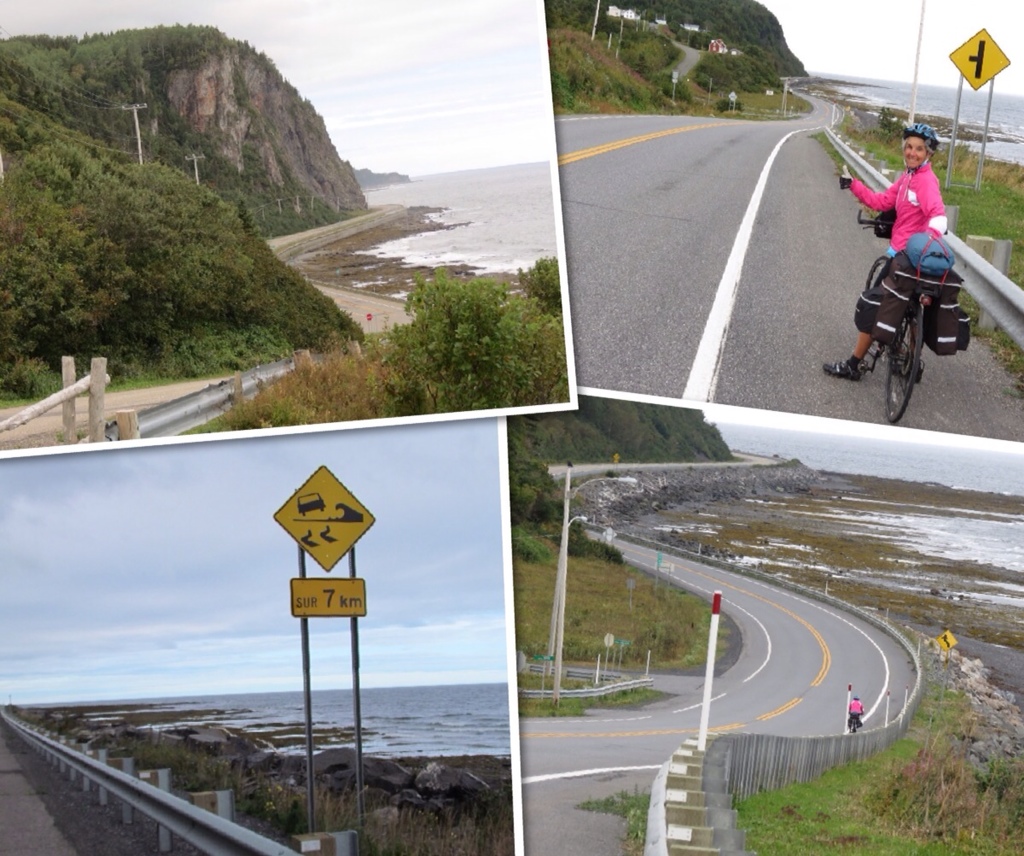
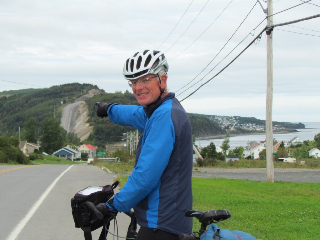
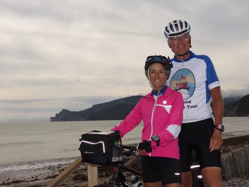
But let me back up. For days the weather reports have been predicting rain. So far, it hadn't materialized except at night. Yesterday the threat seemed more ominous as we started out under dark clouds, so we pressed on leaving Port-Daniel early in the morning hoping to beat the raindrops. But we also encountered the beginning of the steep hills in Gaspésie, as well as a stiff headwind coming right off the water. So we had our work cut out for us. Miraculously, the skies cleared once again and we felt comfortable backing off our pace. I thought it even made the wind more tolerable (“ocean breezes” I called them), but Rich begged to differ on that point.
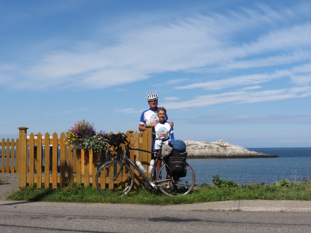
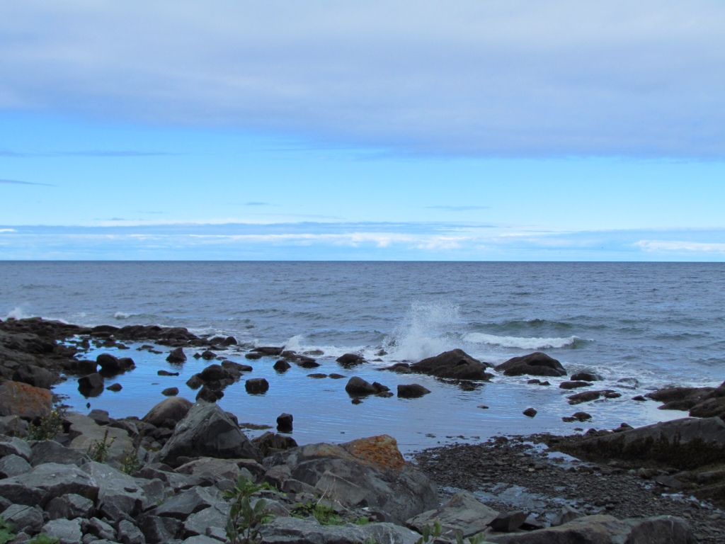
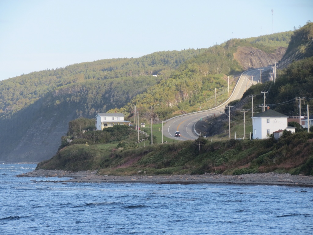
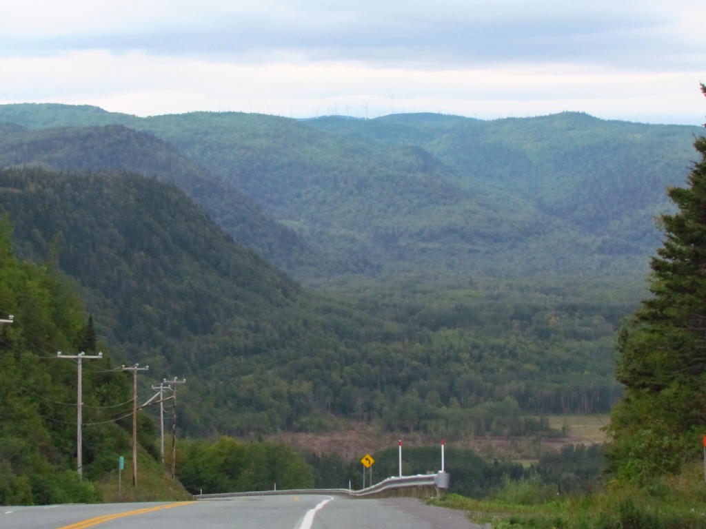
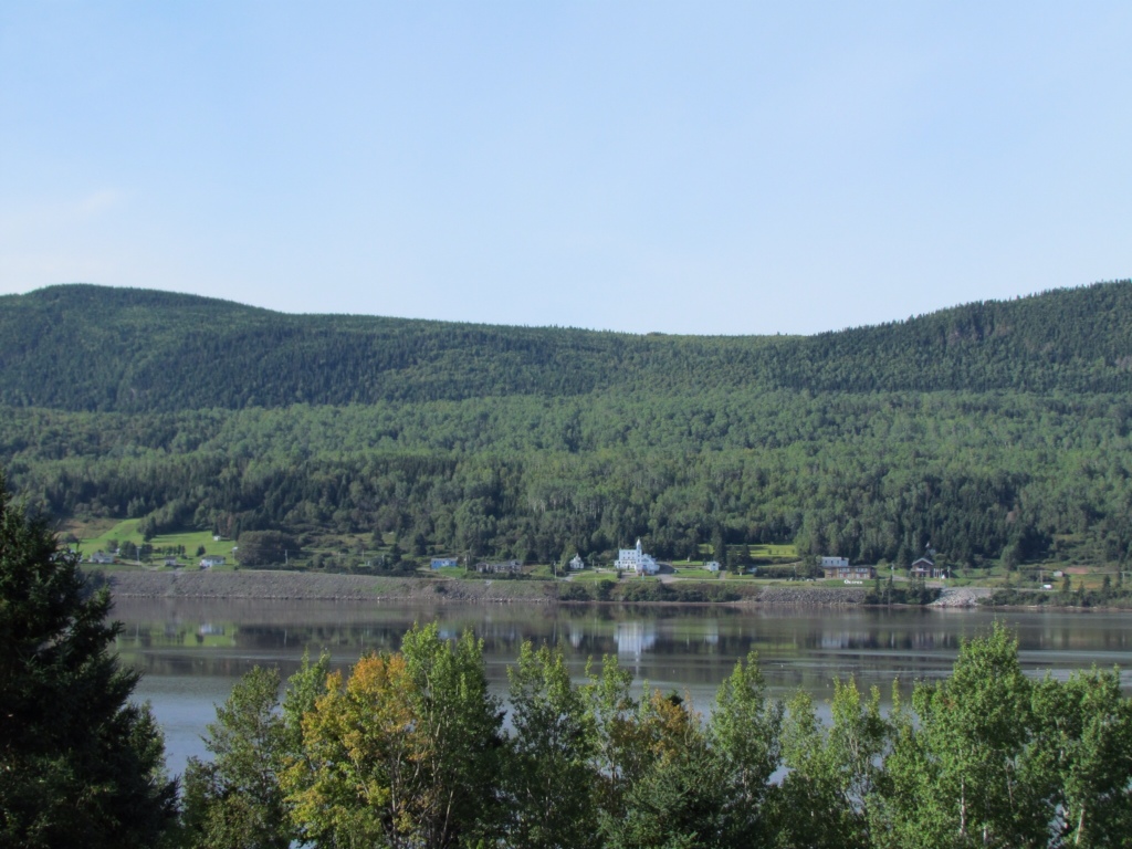
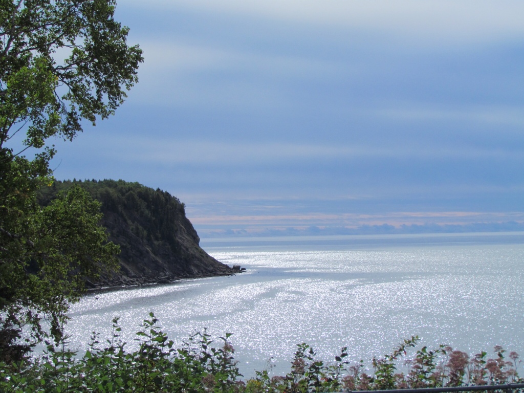
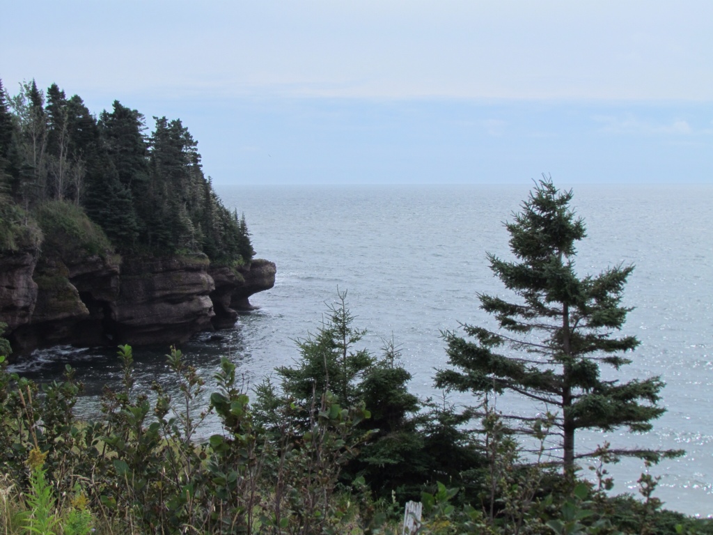
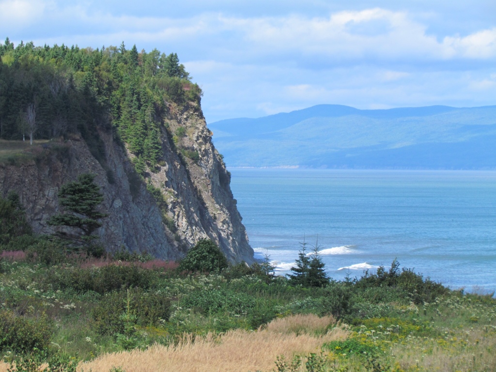
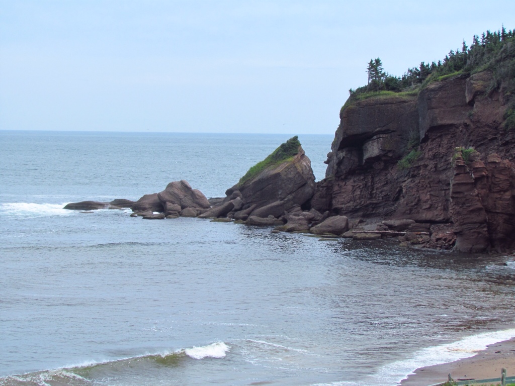
The payoff for the hill work was the increasingly dramatic coastline. The cliffs began to have the same reddish color we'd seen on PEI. And the views were captivating. Beaches still alternated with cliffs along the shore, and the wind whipped the water into reasonable sized waves that pounded the sand. It may not have been a calm warm day, but it had its own appeal.

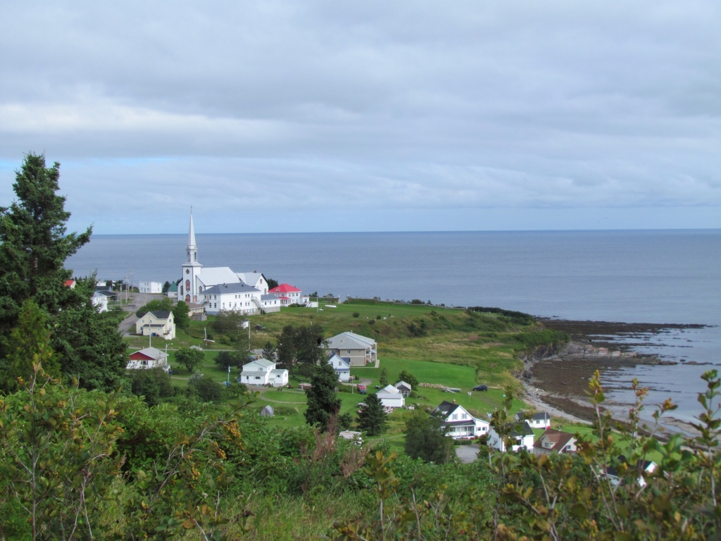
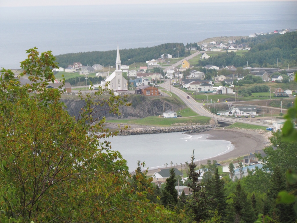
Coastal View

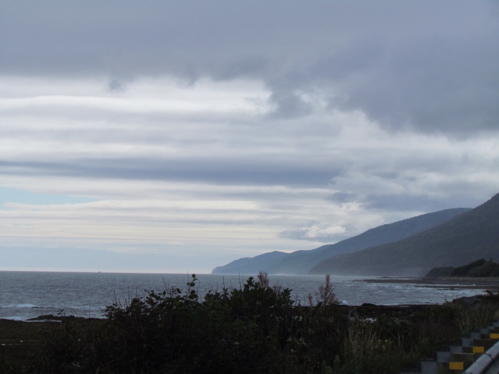
View of Grande-Rivière
Our host home for the night was in Cap-d'Espoir, just south of Percé. We were surprised to see the return of rural farmland on the landscape, and delighted to find the home inland on a mile of undeveloped land. We were warmly greeted by Nathalie, who also delivered the latest weather report: 90% chance of rain overnight and throughout the next day, accumulating up to 2″ of rain. Would we like to stay a second night? They were the sweetest words we ever heard!
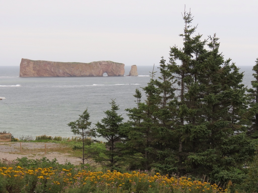
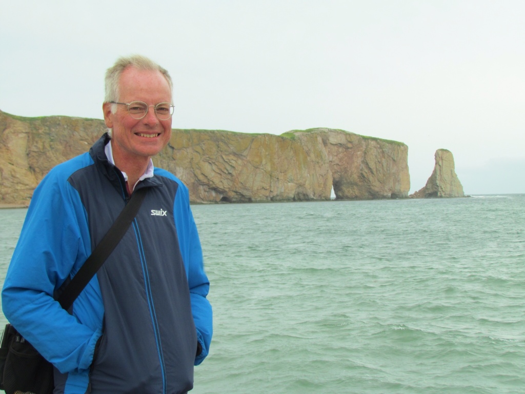
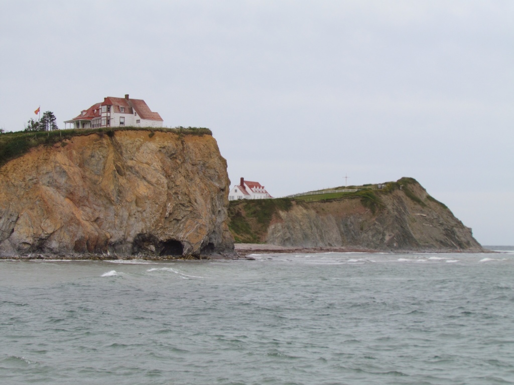
With certain impending rain, she offered to take us into Percé to see the sights. We didn't hesitate for a moment, knowing it might be our only chance. Nathalie was poised to be an excellent tour guide, as she works in the tourism industry, and she enthusiastically showed us the best sights. The Rocher-Percé dominates the seacoast right from the town – I had not expected it to be so close and I imposing! Even in the dreary weather we could appreciate its massive size and unique structure. We walked up the steep hills near the Rocher where there are attracitve red and white buildings belonging to the university and Haritage Canada. Walking the beach and out on the wharf in the brisk air was envigorating and a nice change from cycling.

Our first view of Rocher-Percé

Rich and the Rocher-Percé

Close-up of Rocher--Percé

Shoreline opposite the Rocher
We could see Bonaventure island opposite the town, with its historic buildings. The opposite side of the island is home to over 200,000 northern gannets (cool looking white birds), but it was not the type of day for a boat ride to see them.
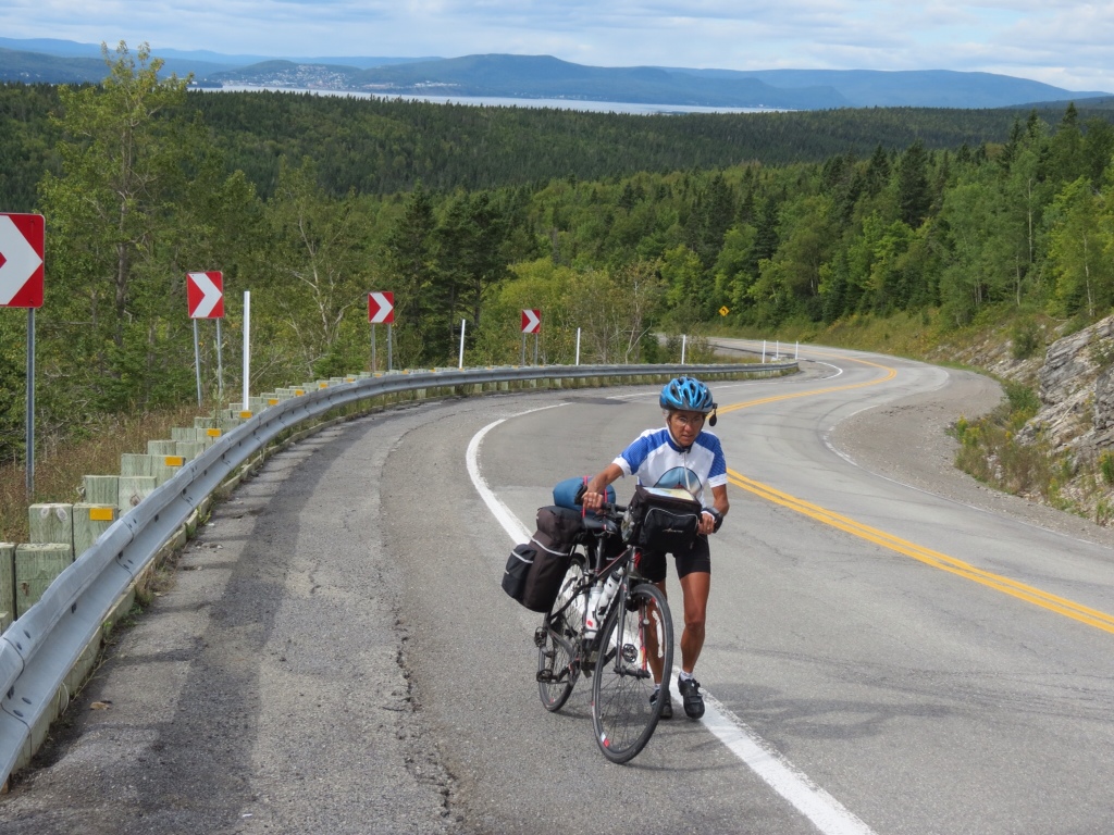
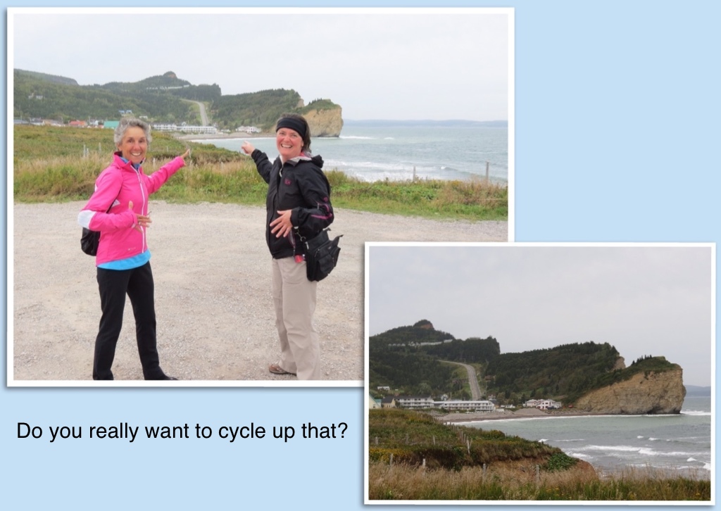
Although the drive into town involved some impressive hills, when Nathalie pointed out the continuation of that road going north we began to get the idea. At 13% grade for almost 2 kilometers, it would most certainly be a cycling challenge! But that was only the tip of the iceberg. She then drove us along that stretch, and it is a sight that will forever be etched in my mind! Over the summit, the road twisted and turned with sheer cliff walls on one side and plummeting straight down into the water on the other. Add to that more steep grades, alternating up and down, and I knew I would feel sheer terror trying to navigate it on my bike. I didn't know whether to be relieved that I would be spared the challenge or disappointed not to see those gorgeous views at close range.

There's no doubt that we will be taking the bypass road tomorrow when we forge on. But thanks to Nathalie, we were still able to take in the beauty of Percé. She was right about the rain. It finally caught up with us. And we've spent a relaxing day staying dry with her warm hospitality. She's been a wealth of information and fascinating conversation, and like us appreciates lingering over a bottle of wine in the evenings. Yes, there are many jewels in Percé.

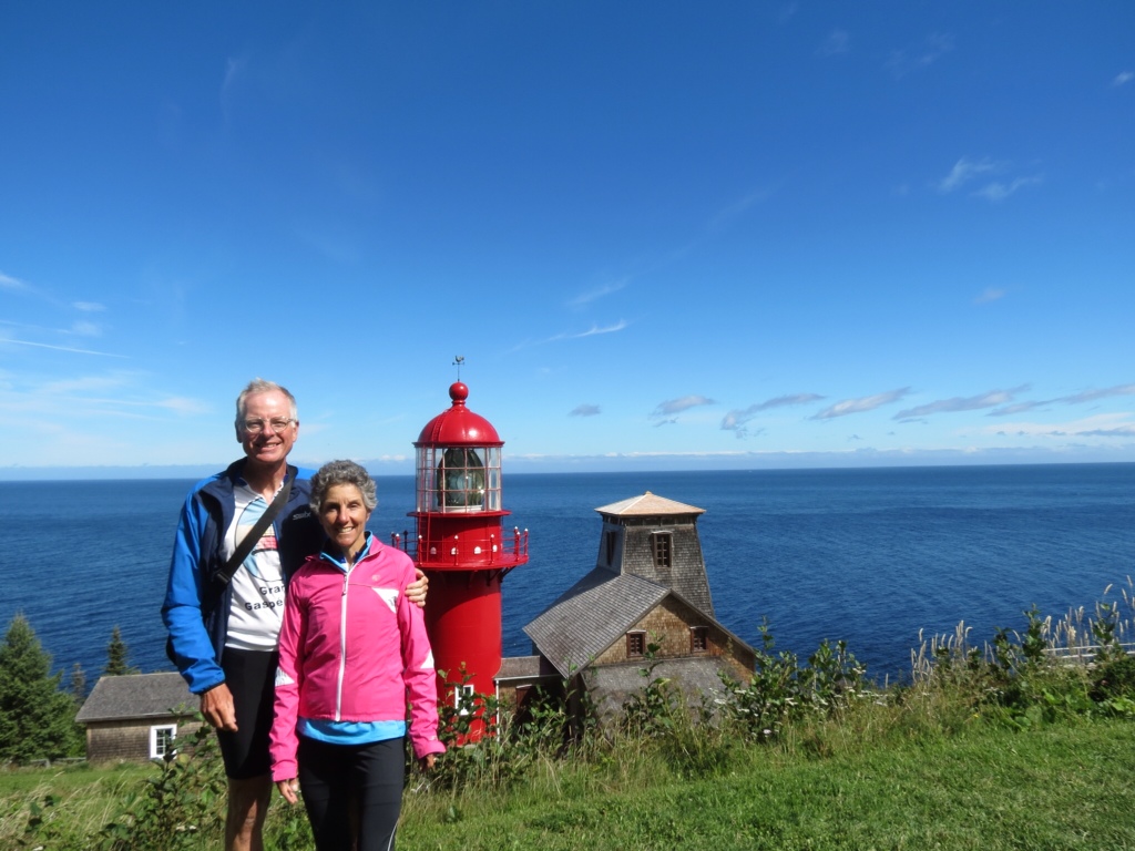
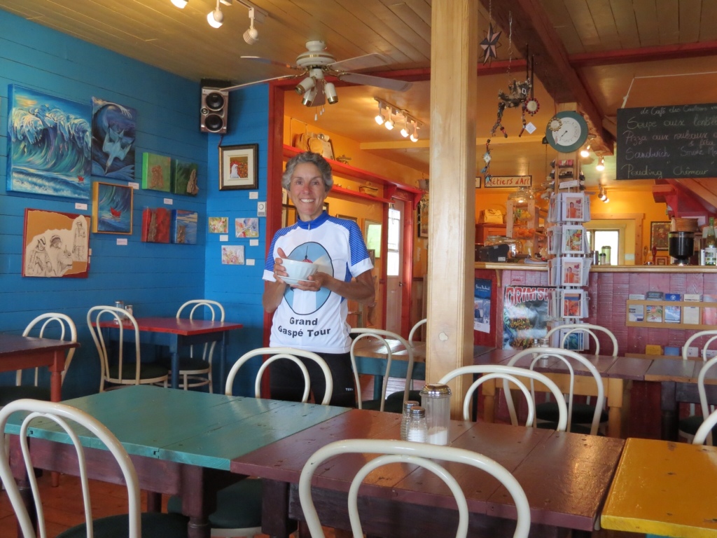
Thank you Nathalie for a great stay!