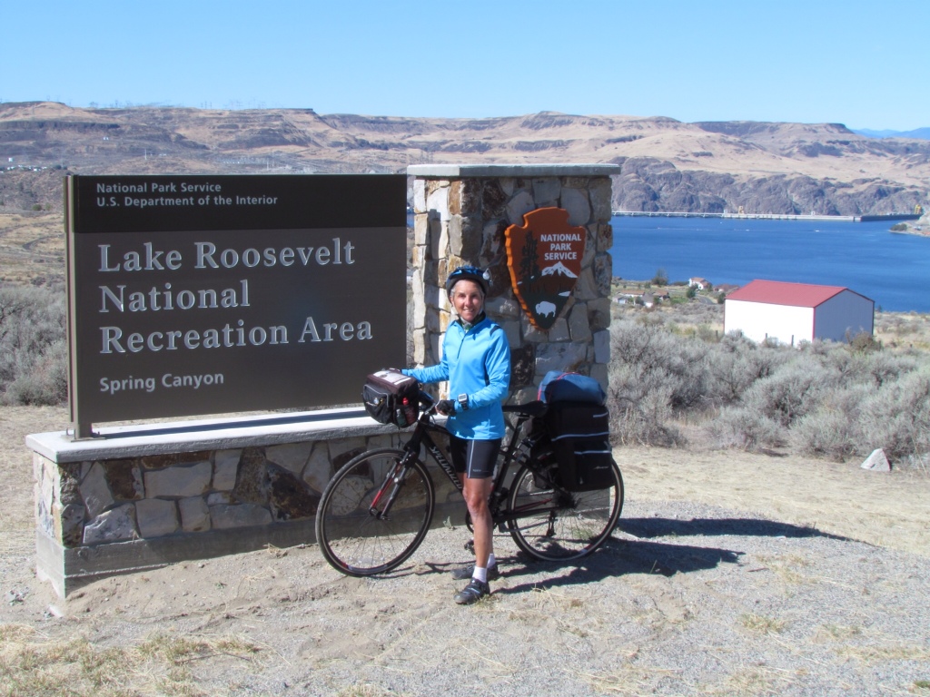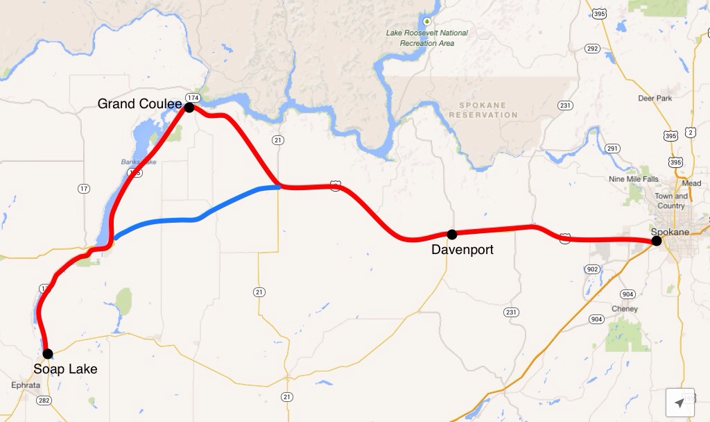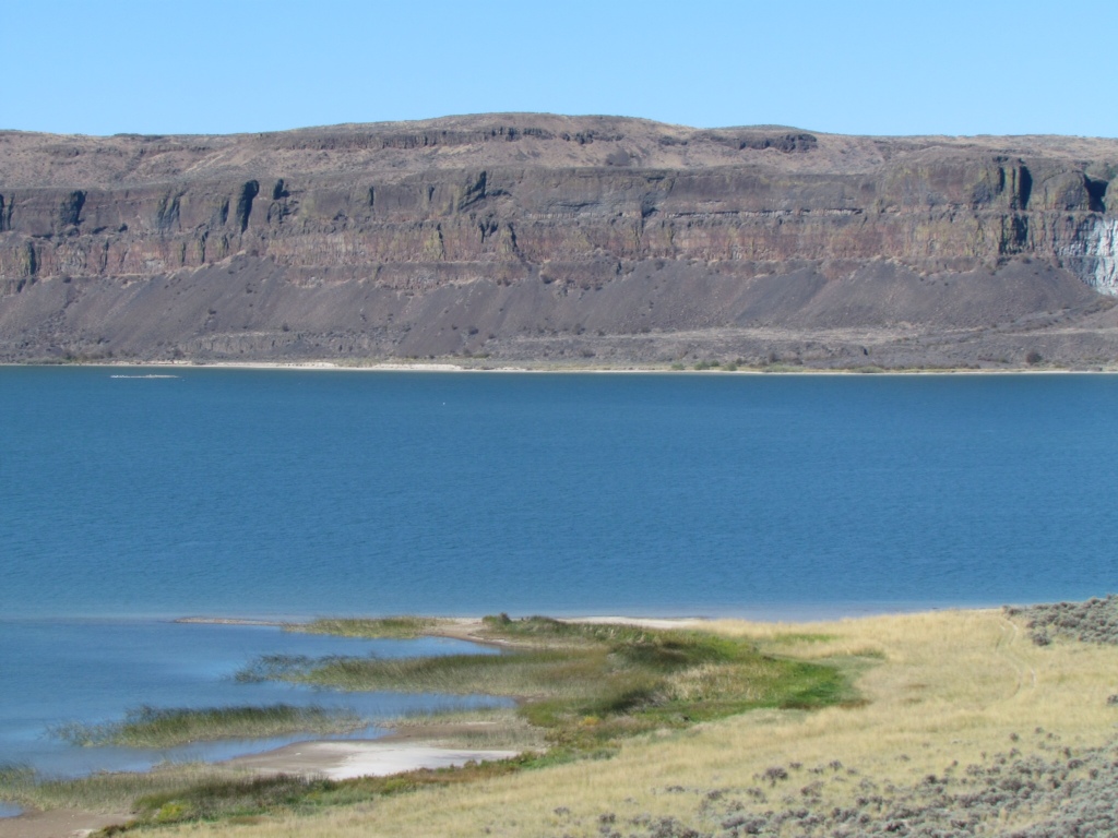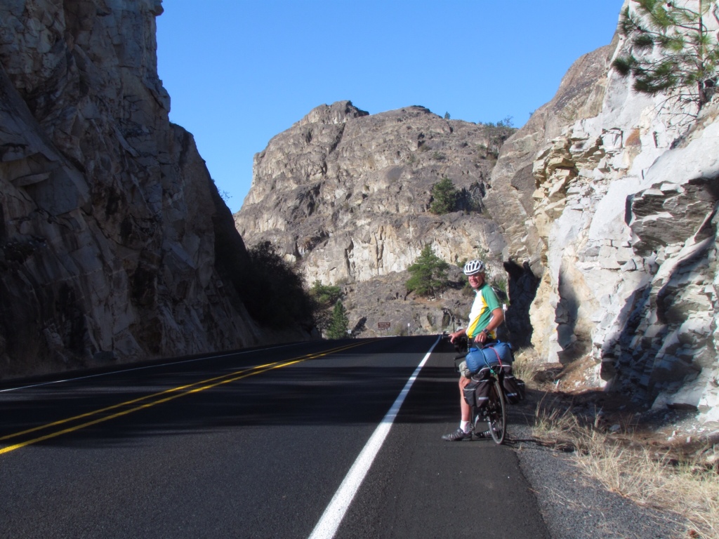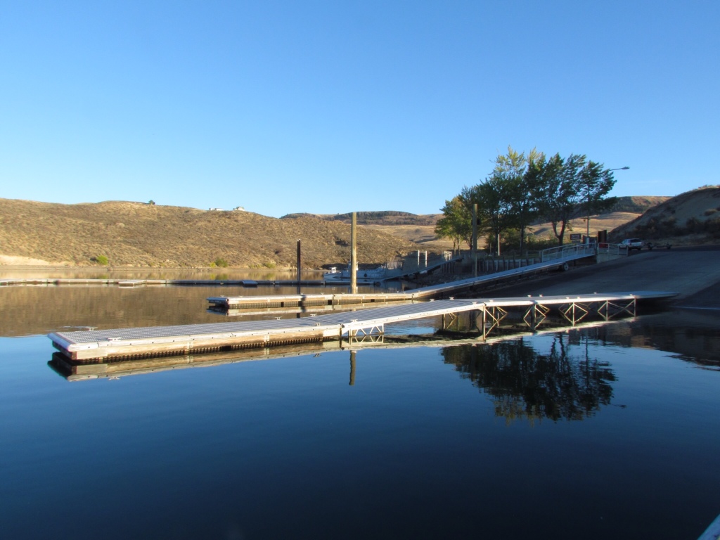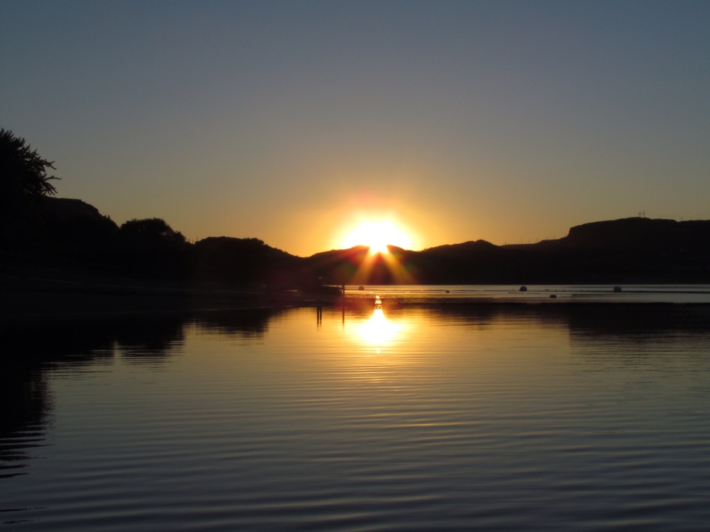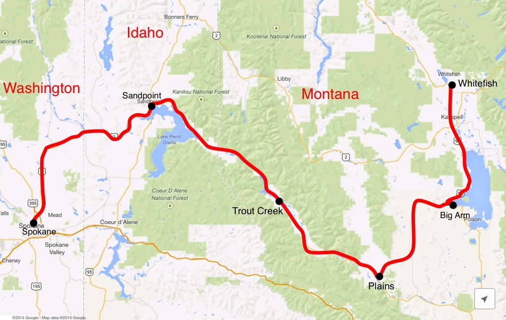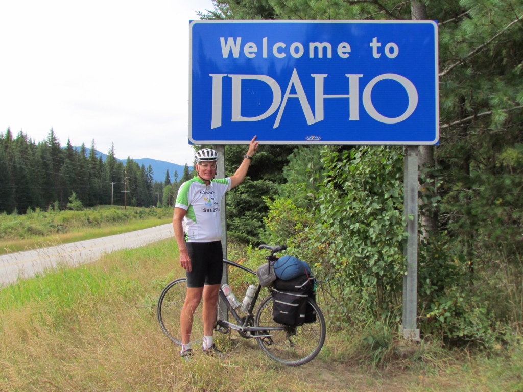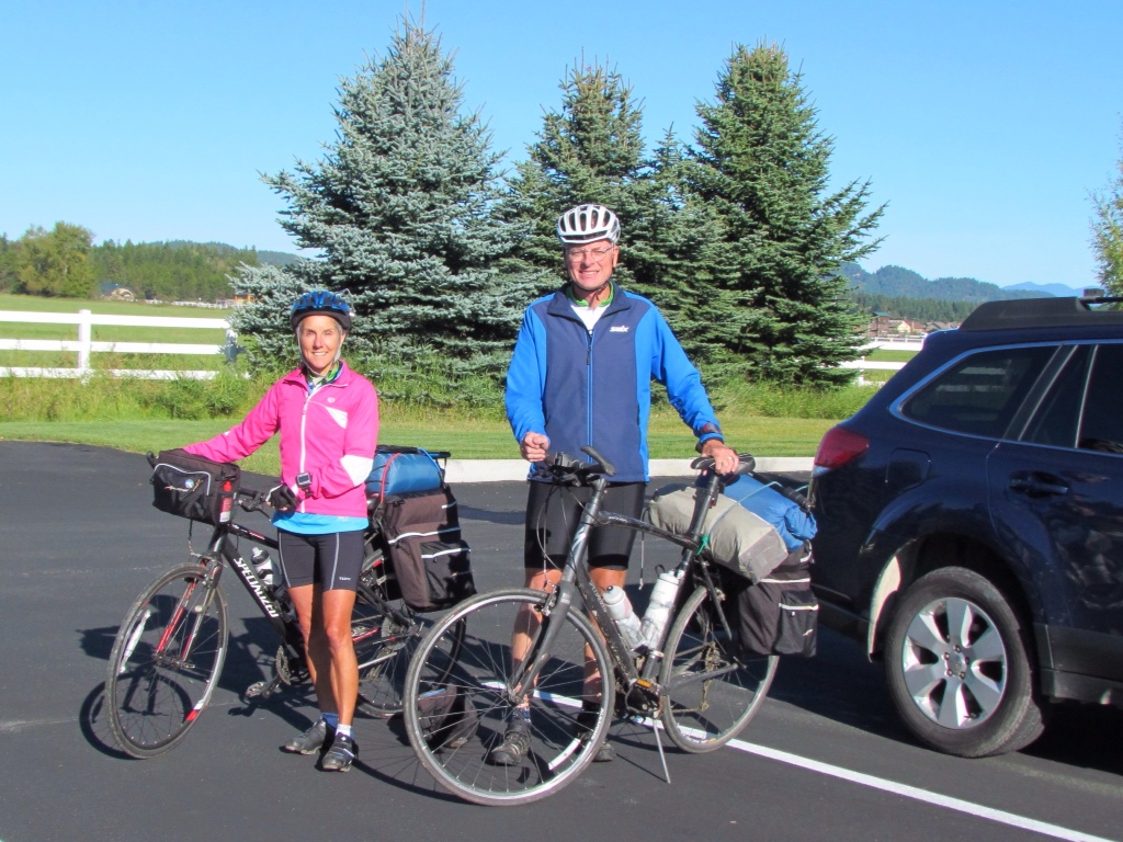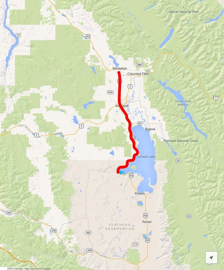
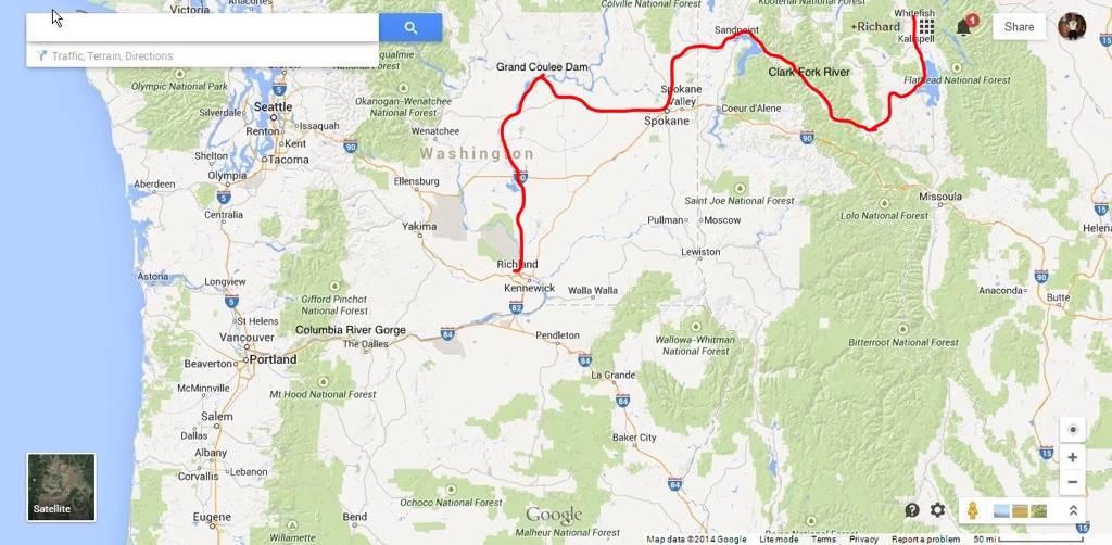
Progress to date: 10 days, 574 miles
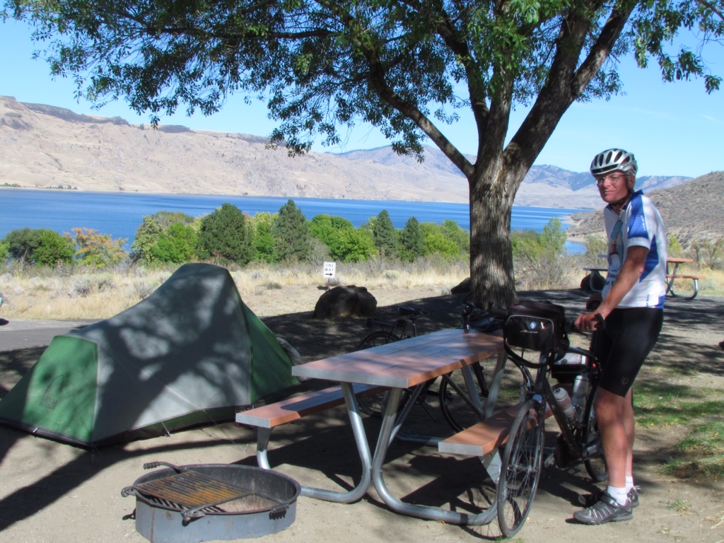
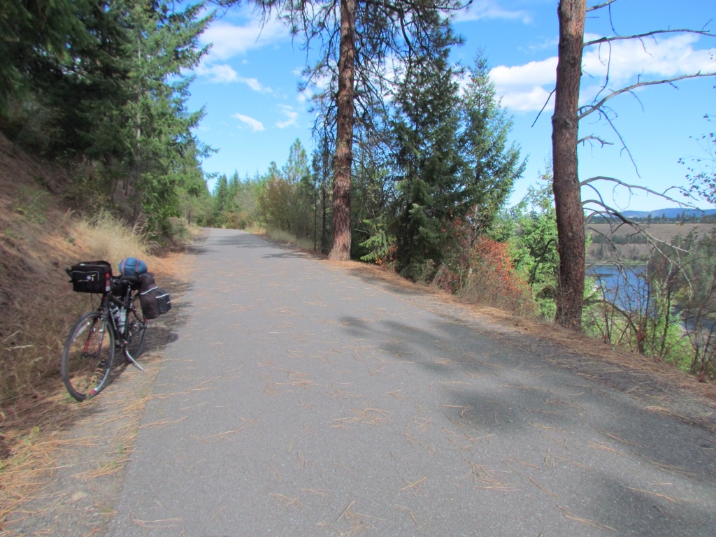
Day ten of our trip, and I think I'm finally getting there. The initial adjustment period has passed and I've ironed out the kinks in my routine. I've reached the point where daily cycling is the norm and other responsibilities have faded into the background. I am In the Zone.
I recognize this condition from last year's cycling trip. It's a state of being characterized by a number of uniquely identifiable behaviors. The list goes something like this:
- Losing track of the days. Knowing what day it is is only important when it impacts when shops or cafés will be open, or if a motel might book up more quickly.
- Letting go of the need to plan ahead. As long as today's destination offers food and lodging options, that's enough to know.
- Checking the weather takes precedence over checking email.
- Being able to adjust like a rubber band. Waiting out a breakdown, flat tire or other delay is no longer a world ending event. Rearranging our route is no big deal.
- Thinking that taking a daily shower at 4:00pm is normal.
- Feeling my body change. The extra pounds that crept on before the trip are melting away. My legs are getting increasingly stronger.
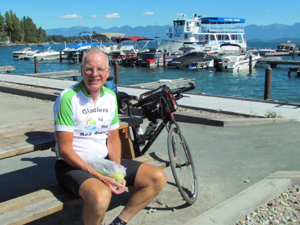
- Needing food. Lots of it. With each passing day, adding fuel assumes a greater importance. The search for ice cream intensifies.
- Wanting the cycling to go on and on. Not wanting the trip to end.
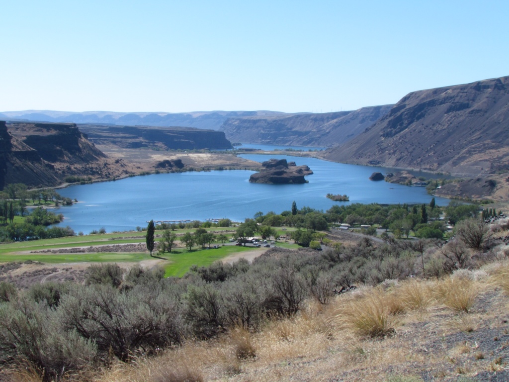
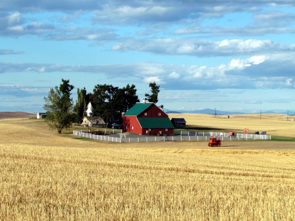
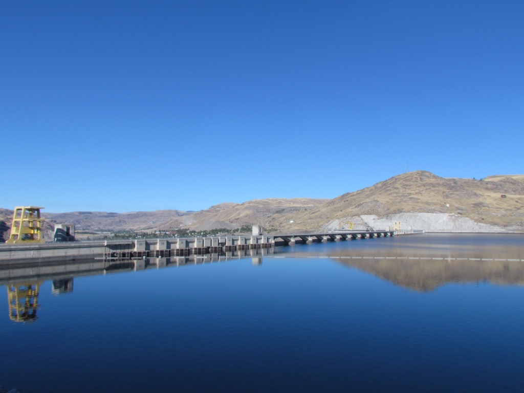
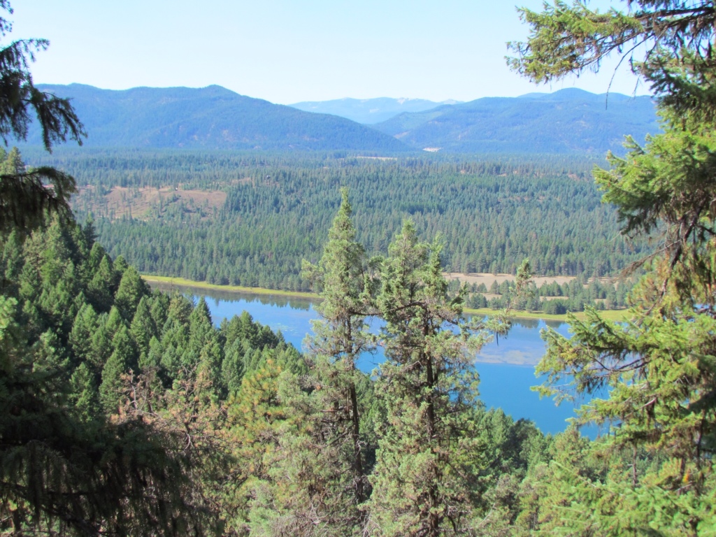
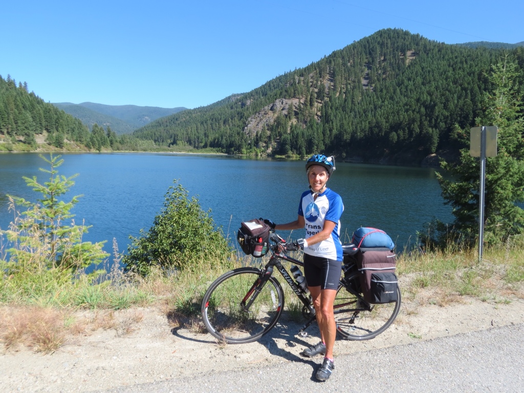
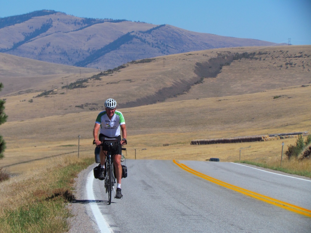
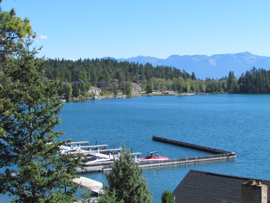
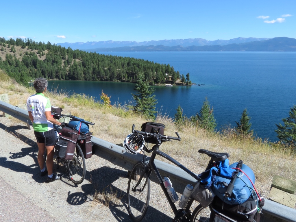
The Zone is a good place to be. Life is simple. Exercise is plentiful. No shortage of fresh air. The scenery is constantly changing. I plan to stay In the Zone for several more weeks.